Walkley
Located in Bradfield, Sheffield Coordinates: 53°23′40″ N 1°30′09″ W
- Elevation
- 162 m
- above sea level
- Local time
- UTC+00:00
- Europe/London · UTC+00:00
About Walkley
Walkley is a neighbourhood. Location: Bradfield, Sheffield.
Walkley is a suburb of Sheffield, England, west of Burngreave, south of Hillsborough and north-east of Crookes. The area consists mainly of Victorian stone-fronted terraced housing and has a relatively high student population. It also has a number of independent shops and cafes.
Read more on Wikipedia Text: Wikipedia contributors · CC BY-SA 4.0 · shortened
In comparison
- Nearest larger town: Wadsley, 2 km NW
- 26 sights and natural places within 10 km River Rivelin, River Loxley
Nearby attractions & nature
Everything nearby-
River Rivelin River, England0.6 km N
-
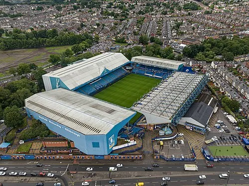 Hillsborough Stadium Landmark, Bradfield1.9 km N
-
River Loxley River, England1.4 km NE
-
River Sheaf River, England2.7 km SE
-
Parkwood Springs Mountain, Sheffield2 km NE
-
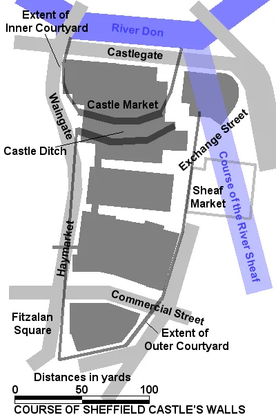 Sheffield Castle Historic site, Sheffield2.8 km SE
Sources & licences
Data last updated: · 2 independent sources