Pimhill
Located in Shropshire, England Coordinates: 52°45′26″ N 2°47′09″ W
- Elevation
- 79 m
- above sea level
- Local time
- UTC+00:00
- Europe/London · UTC+00:00
- Places inside
- 16
- listed under Pimhill
About Pimhill
Pimhill is a municipality. Location: Shropshire, England. Elevation: 79 m.
In comparison
- Nearest larger town: Albrighton, 3 km E
- 22 sights and natural places within 10 km Bicton The Isle, Fitz
- Listed here: Village: 14, Historic site: 1, Mountain: 1
Places in Pimhill
16 places-
Albrighton Village270
-
Bomere Heath Village
-
Crossgreen Village
-
Dunnsheath Village
-
Fitz Village
-
Fitz Historic site
-
Forton Heath Village
-
Grafton Village
-
Leaton Village
-
Leaton Knolls Village
-
Merrington Village
-
Old Woods Village
-
Pim Hill Mountain
-
Preston Gubbals Village
-
Rosehill Village
-
Walford Heath Village
Nearby attractions & nature
Everything nearby-
Bicton The Isle Historic site, Bicton1.9 km SW
-
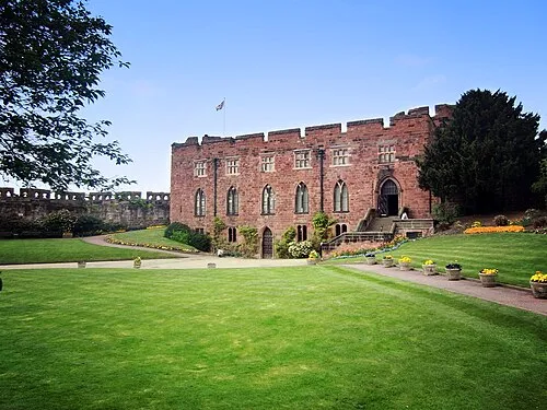 Shrewsbury Castle Historic site, Shrewsbury5.8 km SE
-
Little Ness Castle Mound Historic site, Little Ness6.5 km W
-
Myddle Castle Historic site, Myddle and Broughton5.5 km N
-
Little Shrawardine Motte Historic site, Alberbury with Cardeston8.3 km W
-
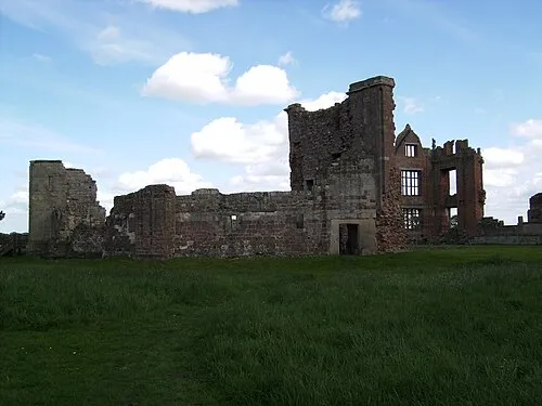 Moreton Corbet Castle Historic site, Moreton Corbet and Lee Brockhurst10 km NE
-
Shrewsbury Mediumwave Transmitter Landmark, Shrewsbury6.9 km S
-
Bank Farm Mound Historic site, Shrewsbury7.3 km S
Other cities and towns in Shropshire
Sources & licences
Data last updated: