Muckleton
Located in Shawbury, Shropshire Coordinates: 52°47′07″ N 2°36′17″ W
- Elevation
- 72 m
- above sea level
- Local time
- UTC+00:00
- Europe/London · UTC+00:00
About Muckleton
Muckleton is a village. Location: Shawbury, Shropshire. Elevation: 72 m.
In comparison
- Nearest larger town: High Ercall, 3 km S
- 20 sights and natural places within 10 km Moreton Corbet Castle, Besford Wood
Nearby attractions & nature
Everything nearby-
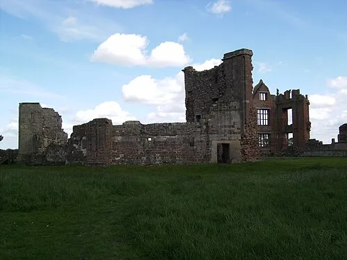 Moreton Corbet Castle Historic site, Moreton Corbet and Lee Brockhurst3.8 km NW
-
Ebury Camp Historic site, Uffington6.6 km SW
-
Shawbury Historic site, Moreton Corbet and Lee Brockhurst6.6 km NW
-
River Roden River, England7.8 km S
-
Besford Wood Mountain, Moreton Corbet and Lee Brockhurst6.4 km NW
-
Hodnet Castle Hill Historic site, Hodnet7.6 km N
Sources & licences
Data last updated: