Clee Burf
Located in Wheathill, Shropshire Coordinates: 52°27′18″ N 2°35′57″ W
- Elevation
- 510 m
- above sea level
- Local time
- UTC+00:00
- Europe/London · UTC+00:00
About Clee Burf
Clee Burf is a mountain. Location: Wheathill, Shropshire. Elevation: 510 m.
In comparison
- No. 4803 of 18223 mountains in United Kingdom by elevation
- 19 sights and natural places within 10 km Brown Clee Hill, Aston Botterell
Nearest towns and villages
-
Loughton Town, Wheathill3.3 km SE
-
Cockshutford Village, Clee St. Margaret1.6 km NW
-
Burwarton Municipality, Shropshire1.7 km E
-
Ditton Priors Village, Ditton Priors5.1 km N
-
Clee St. Margaret Municipality, Shropshire2.4 km W
-
Burwarton Village, Burwarton2.7 km E
Nearby attractions & nature
Everything nearby-
Brown Clee Hill Mountain, Ditton Priors2.4 km N
-
Titterstone Clee Hill Mountain, Caynham6.3 km S
-
Aston Botterell Historic site, Aston Botterell3.8 km E
-
Clee Hill Mountain, Coreley8 km S
-
Borrow Beck River, England6.2 km S
-
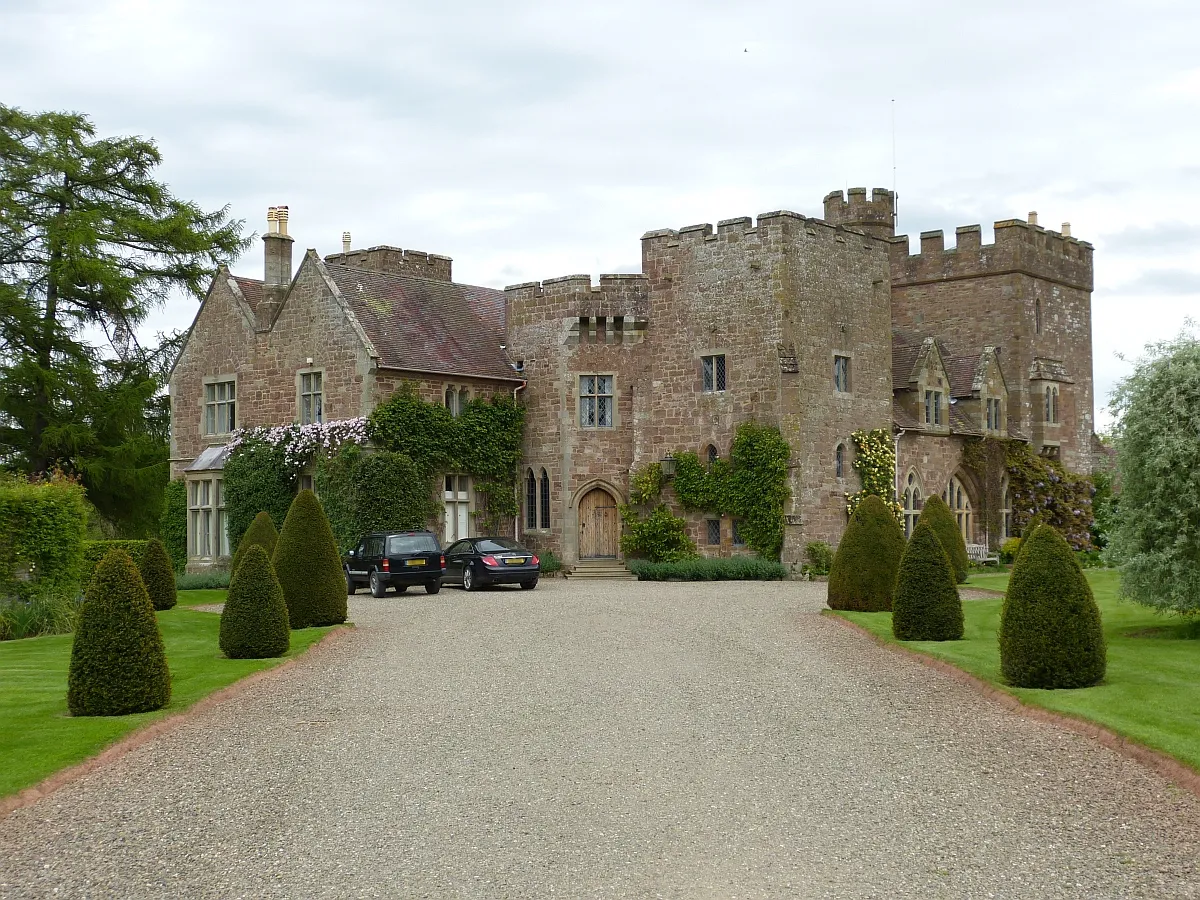 Broncroft Castle Historic site, Diddlebury5.5 km NW
-
Hungerford Hill Mountain, Rushbury9 km NW
-
Shipton Hill Mountain, Rushbury9 km NW
Sources & licences
Data last updated: