Northam
Located in Southampton, England Coordinates: 50°54′40″ N 1°23′31″ W
- Elevation
- 2 m
- above sea level
- Local time
- UTC+00:00
- Europe/London · UTC+00:00
About Northam
Northam is a neighbourhood. Location: Southampton, England.
Northam is a suburb of Southampton in Hampshire. On the West bank of the River Itchen, it shares borders with St Mary's, Bitterne and Bevois Valley. Beside the border with St Mary's is the Chapel area, which has been home to some recent apartment building developments in Northam. The A3024 road runs through the suburb and crosses the Northam Bridge, which links Northam with Bitterne via Bitterne Manor.
Read more on Wikipedia Text: Wikipedia contributors · CC BY-SA 4.0 · shortened
In comparison
- Nearest larger town: Southampton, 1 km SW
- 17 sights and natural places within 10 km St Mary's Stadium, Bitterne
Nearby attractions & nature
Everything nearby-
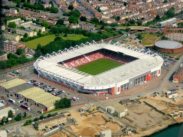 St Mary's Stadium Landmark, Southampton0.6 km S
-
Bitterne Landmark, Southampton1 km NE
-
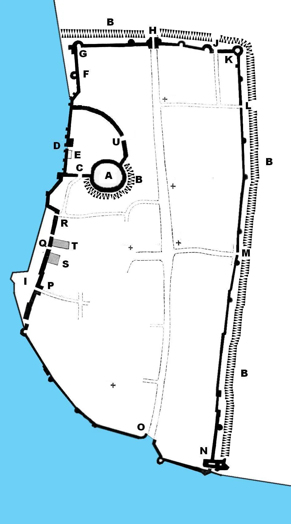 Southampton Castle Historic site, Southampton1.6 km SW
-
Southampton Town Wall and Gods House Tower Landmark, Southampton1.8 km SW
-
River Itchen River, England2.5 km S
-
Bassett Avenue Mountain, Southampton4.4 km N
Sources & licences
Data last updated: · 2 independent sources