Earlestown
Located in St. Helens, England Coordinates: 53°27′09″ N 2°38′22″ W
- Population
- 10,830
- 10.8K
- Elevation
- 36 m
- above sea level
- Local time
- UTC+00:00
- Europe/London · UTC+00:00
About Earlestown
Earlestown is a village. Location: St. Helens, England. Population: 10,830. Elevation: 36 m.
Earlestown ( URLZ-town) is a town contiguous with Newton-le-Willows in the Metropolitan Borough of St Helens, Merseyside, England. At the 2011 Census the town had a population of 10,830. The town's name is derived from Hardman Earle, a businessman and director of the London and North Western Railway who established a railway workshop here.
Read more on Wikipedia Text: Wikipedia contributors · CC BY-SA 4.0 · shortened
In comparison
- No. 5 of 5 places in St. Helens by population
- Nearest larger town: Newton-le-Willows, 3 km E
- 7 sights and natural places within 10 km Newton Le Willows Castle Hill, Warrington Transporter Bridge
Nearby attractions & nature
Everything nearby-
Newton Le Willows Castle Hill Historic site, St. Helens2.2 km NE
-
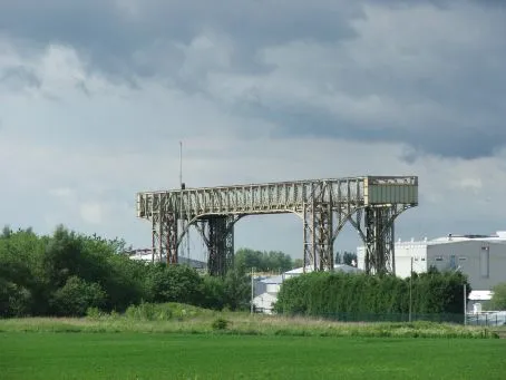 Warrington Transporter Bridge Landmark, Warrington7.9 km S
-
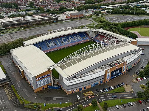 DW Stadium Landmark, Shevington11 km N
-
Crank Hill Mountain, Rainford8 km NW
-
Billinge Hill Mountain, Billinge Chapel End8 km NW
-
Pennington Hall Park Natural site, Wigan8.5 km NE
Sources & licences
Data last updated: · 2 independent sources