Mid Suffolk District
Located in Suffolk, England Coordinates: 52°14′04″ N 1°06′19″ E
- Population
- 100,014
- 100K
- Elevation
- 63 m
- above sea level
- Local time
- UTC+00:00
- Europe/London · UTC+00:00
- Places inside
- 122
- listed under Mid Suffolk District
About Mid Suffolk District
Mid Suffolk District is a municipality. Location: Suffolk, England. Population: 100,014. Elevation: 63 m.
In comparison
- No. 5 of 7 places in Suffolk by population
- Nearest larger town: Ipswich, 20 km S
- 2 sights and natural places within 10 km Mendlesham TV Mast, Haughley Castle
- Listed here: Village: 122
Places in Mid Suffolk District
122 places-
Akenham Village
-
Ashbocking Village
-
Ashfield cum Thorpe Village
-
Aspall Village
-
Athelington Village
-
Bacton Village
-
Badley Village
-
Badwell Ash Village
-
Barham Village
-
Barking Village
-
Battisford Village
-
Baylham Village
-
Bedfield Village
-
Bedingfield Village
-
Beyton Village
-
Botesdale Village
-
Braiseworth Village
-
Bramford Village
-
Brome and Oakley Village
-
Brundish Village
-
Burgate Village
-
Buxhall Village
-
Claydon Village
-
Coddenham Village
-
Combs Village
-
Cotton Village
-
Creeting St. Mary Village
-
Crowfield Village
-
Debenham Village
-
Denham Village
-
Drinkstone Village
-
Elmswell Village
-
Eye Village
-
Felsham Village
-
Finningham Village
-
Flowton Village
-
Framsden Village
-
Fressingfield Village
-
Gedding Village
-
Gipping Village
-
Gislingham Village
-
Gosbeck Village
-
Great Ashfield Village
-
Great Blakenham Village
-
Great Bricett Village
-
Great Finborough Village
-
Harleston Village
-
Haughley Village
-
Helmingham Village
-
Hemingstone Village
-
Henley Village
-
Hessett Village
-
Hinderclay Village
-
Horham Village
-
Hoxne Village
-
Hunston Village
-
Kenton Village
-
Langham Village
-
Laxfield Village
Nearby attractions & nature
Everything nearby-
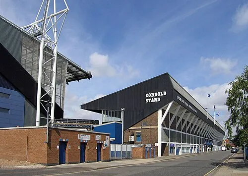 Portman Road Landmark, Ipswich District20 km S
-
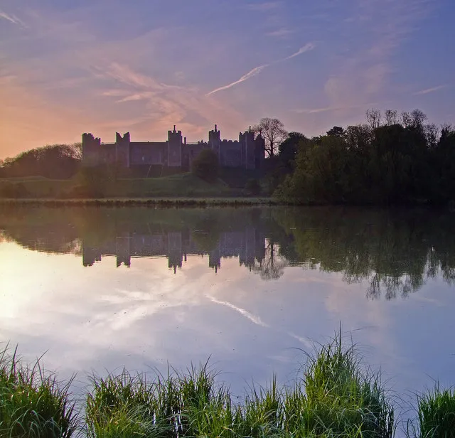 Framlingham Castle Historic site, Framlingham17 km E
-
Otley The Mount Historic site, Otley13 km SE
-
Milden Castle Historic site, Milden25 km SW
-
Hawkers Hall Historic site, Redenhall with Harleston24 km NE
-
Burgh Historic site, Burgh16 km SE
-
Bressingham Steam and Gardens Attraction, Bressingham17 km N
-
Shepherds Grove Natural site, Stanton17 km NW
Sources & licences
Data last updated: