Deepcut
Located in Surrey Heath, Surrey Coordinates: 51°18′18″ N 0°42′37″ W
- Population
- 2,477
- 2.5K
- Elevation
- 108 m
- above sea level
- Local time
- UTC+00:00
- Europe/London · UTC+00:00
About Deepcut
Deepcut is a village. Location: Surrey Heath, Surrey. Population: 2,477. Elevation: 108 m.
In comparison
- No. 5 of 5 places in Surrey Heath by population
- Nearest larger town: Frimley Green, 2 km W
- 13 sights and natural places within 10 km Farnborough Air Sciences Trust Museum, Romping Downs
Nearby attractions & nature
Everything nearby-
Farnborough Air Sciences Trust Museum Museum, Rushmoor District3.9 km SW
-
Romping Downs Mountain, Normandy4 km S
-
Hodge Brook River, Pirbright4.1 km E
-
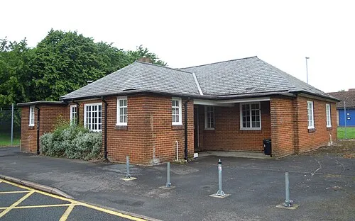 Aldershot Military Museum Museum, Rushmoor District4.8 km SW
-
Ramillies Park Natural site, Rushmoor District4.2 km SW
-
Hawley Hill Mountain, Blackwater and Hawley5.3 km W
Sources & licences
Data last updated: