Ashton-under-Lyne
Located in Tameside, England Coordinates: 53°29′20″ N 2°05′56″ W

- Population
- 43,675
- 43.7K
- Elevation
- 108 m
- above sea level
- Local time
- UTC+00:00
- Europe/London · UTC+00:00
About Ashton-under-Lyne
Ashton-under-Lyne is a city. Location: Tameside, England. Population: 43,675. Elevation: 108 m.
Ashton-under-Lyne, also known as Ashton, is a market town in the Metropolitan Borough of Tameside, Greater Manchester, England. Its population was 48,604 at the 2021 census. Historically a part of Lancashire, it is located on the north bank of the river Tame, in the foothills of the Pennines and 6 miles (9.7 km) east of Manchester. Evidence of Stone Age, Bronze Age and Viking activity has been discovered in Ashton-under-Lyne.
Read more on Wikipedia Text: Wikipedia contributors · CC BY-SA 4.0 · shortened
In comparison
- Most populous of 9 places in Tameside
- Nearest larger town: Oldham, 6 km N
- 42 sights and natural places within 10 km Ashton Moss Mediumwave Transmitter, Mast 4, Ashton Moss Mediumwave Transmitter, Mast 3
Nearby attractions & nature
Everything nearby-
Ashton Moss Mediumwave Transmitter, Mast 4 Landmark, Mossley1 km W
-
Ashton Moss Mediumwave Transmitter, Mast 3 Landmark, Mossley1.1 km W
-
Ashton Moss Mediumwave Transmitter, Mast 2 Landmark, Mossley1.1 km W
-
Ashton Moss Mediumwave Transmitter, Mast 1 Landmark, Mossley1.2 km W
-
Hough Hill Mountain, Tameside3.7 km SE
-
Ashton Moss Mediumwave Transmitter, Tower 3 Landmark, Mossley2 km W
-
Ashton Moss Mediumwave Transmitter, Tower 2 Landmark, Mossley2.1 km W
-
Ashton Moss Mediumwave Transmitter, Tower 1 Landmark, Mossley2.2 km W
Other cities and towns in Tameside
-
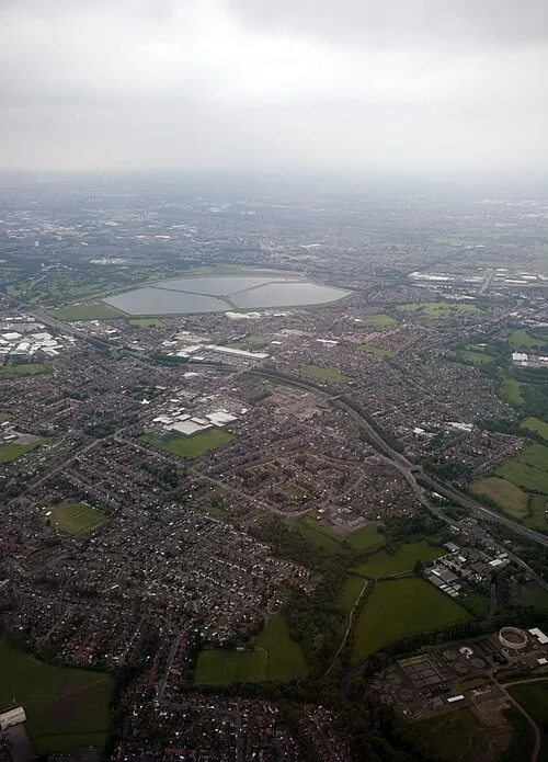 Denton Town, Tameside3.8 km S
-
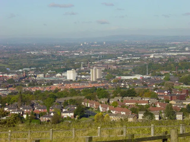 Hyde Town, Tameside4.4 km S
-
Longdendale Town, Tameside7 km E
-
Mossley Town, Mossley5.1 km NE
-
Mossley Municipality, Tameside5.8 km NE
Sources & licences
Data last updated: · 2 independent sources