Buckton Castle
Located in Mossley, Tameside Coordinates: 53°30′40″ N 2°01′04″ W
- Local time
- UTC+00:00
- Europe/London · UTC+00:00
- Elevation
- 314 m
- above sea level
About Buckton Castle
Buckton Castle is a historic site. Location: Mossley, Tameside.
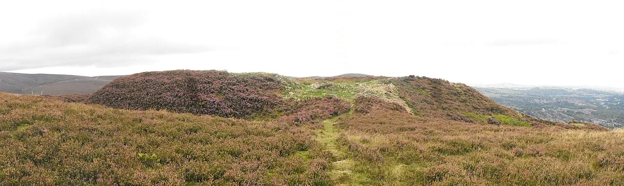
Buckton Castle was a medieval enclosure castle near Carrbrook in Stalybridge, a town in Tameside, Greater Manchester, England. Historically part of Cheshire, it was surrounded by a 2.8-metre-wide (9 ft) stone curtain wall and a ditch 10 metres (33 ft) wide and 6 metres (20 ft) deep. Buckton is one of the earliest stone castles in North West England and survives only as buried remains overgrown with heather and peat. It was most likely built and demolished in the 12th century.
Read more on Wikipedia Text: Wikipedia contributors · CC BY-SA 4.0 · shortened
At a glance
- Built
- 12th century
- Heritage designation
- scheduled monument
- Area
- 0.1 ha
Source: Wikidata
In comparison
- 41 sights and natural places within 10 km Luzley Brows, Huddersfield Narrow Canal Pylon
Airports nearest to Buckton Castle
- Manchester Airport (MAN) Manchester, Greater Manchester 25 km
- Leeds Bradford Airport (LBA) Leeds, West Yorkshire 46 km
- Liverpool John Lennon Airport (LPL) Liverpool 59 km
Straight-line distance; airports with scheduled flights only. Source: OurAirports (public domain).
Nearby attractions & nature
Everything nearby-
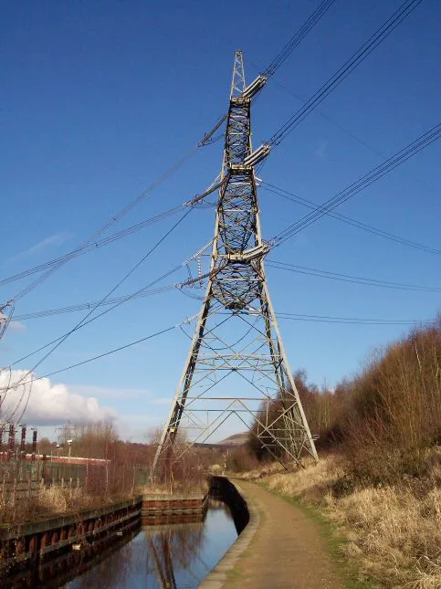 Huddersfield Narrow Canal Pylon Landmark, Tameside2.5 km SW
-
Luzley Brows Mountain, Mossley2 km W
-
Quick Edge Mountain, Mossley2.5 km NW
-
Holly Bank Mountain, Oldham2.8 km NW
-
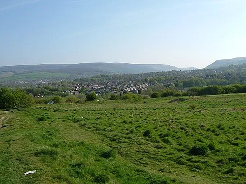 Ardotalia Historic site, High Peak District6.9 km S
-
Hoarstone Edge Mountain, Tameside3.1 km E
-
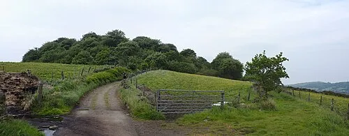 Mouselow Castle Historic site, High Peak District7.2 km SE
-
Wharmton Mountain, Saddleworth3.4 km N
Nearest towns and villages
-
Mossley Town, Mossley1.2 km W
-
Micklehurst Village, Mossley1 km W
-
Bottoms Neighbourhood, Mossley1.4 km W
-
Woodend Neighbourhood, Mossley1.7 km NW
Sources & licences
Data last updated: · 2 independent sources