West Thurrock
Located in Thurrock, England Coordinates: 51°28′42″ N 0°16′36″ E
- Population
- 7,795
- 7.8K
- Elevation
- 14 m
- above sea level
- Local time
- UTC+00:00
- Europe/London · UTC+00:00
About West Thurrock
West Thurrock is a town. Location: Thurrock, England. Population: 7,795. Elevation: 14 m.
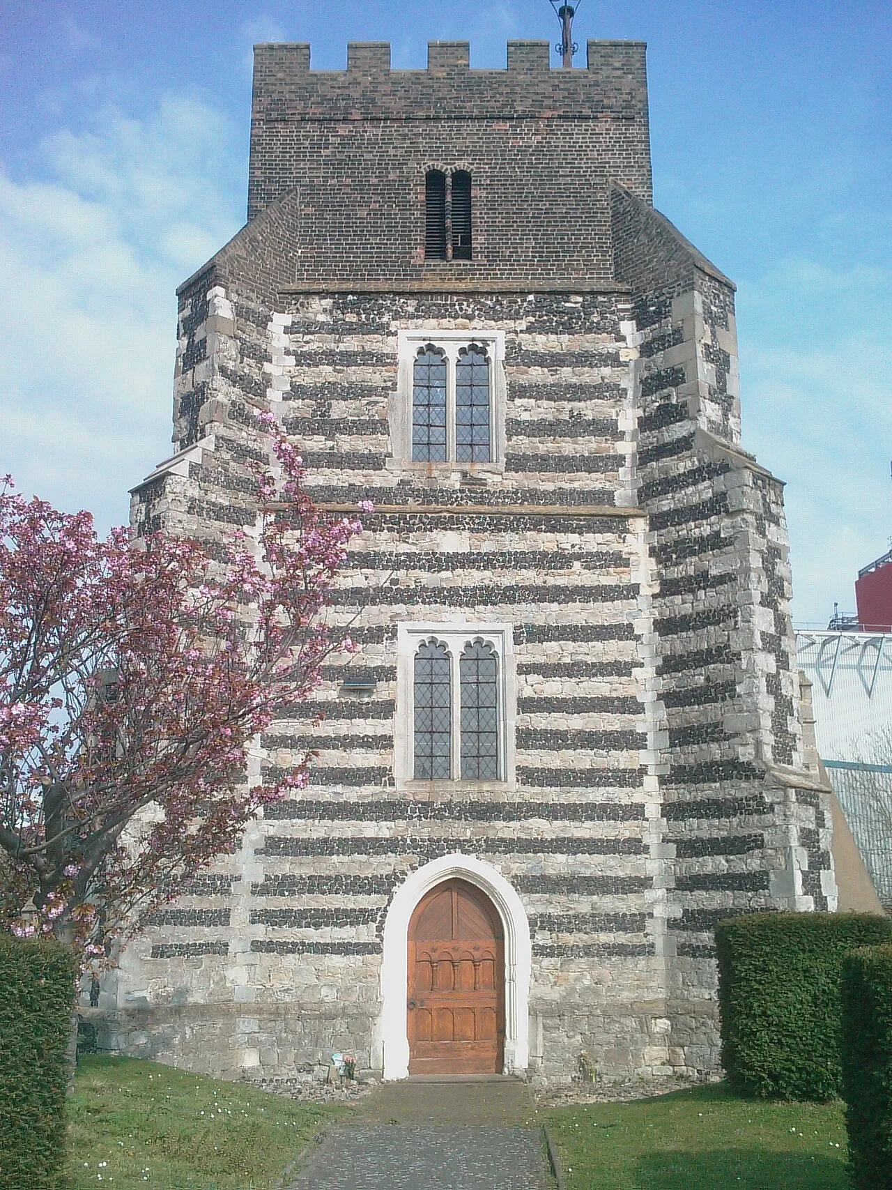
West Thurrock is an area the borough of Thurrock in Essex, England. It lies 18 miles (29 km) east of Charing Cross, London. West Thurrock was historically a parish; the parish was abolished for civil purposes in 1936 when West Thurrock became part of Thurrock.
Read more on Wikipedia Text: Wikipedia contributors · CC BY-SA 4.0 · shortened
In comparison
- No. 8 of 13 places in Thurrock by population
- Nearest larger town: Chafford Hundred, 2 km NE
- 16 sights and natural places within 10 km 380kV Thames Crossing, Tower North, Dartford Bridge
Airports nearest to West Thurrock
- London City Airport (LCY) London 16 km
- London Southend Airport (SEN) Southend-on-Sea, Essex 31 km
- London Stansted Airport (STN) London, Essex 45 km
Straight-line distance; airports with scheduled flights only. Source: OurAirports (public domain).
Nearby attractions & nature
Everything nearby-
380kV Thames Crossing, Tower North Landmark, Thurrock1.4 km SE
-
Dartford Bridge Landmark, Thurrock1.9 km SW
-
380kV Thames Crossing, Tower South Landmark, Swanscombe and Greenhithe2.7 km SE
-
Dartford Marshes Mediumwave Transmitter Landmark, Dartford District3 km W
-
St. Mary's Church Attraction, Stone3.2 km S
-
Sandy Lane Pit Mountain, Thurrock3.9 km NW
-
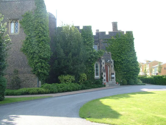 Stone Castle Historic site, Stone3.9 km S
-
River Darent River, England4.2 km W
Other cities and towns in Thurrock
-
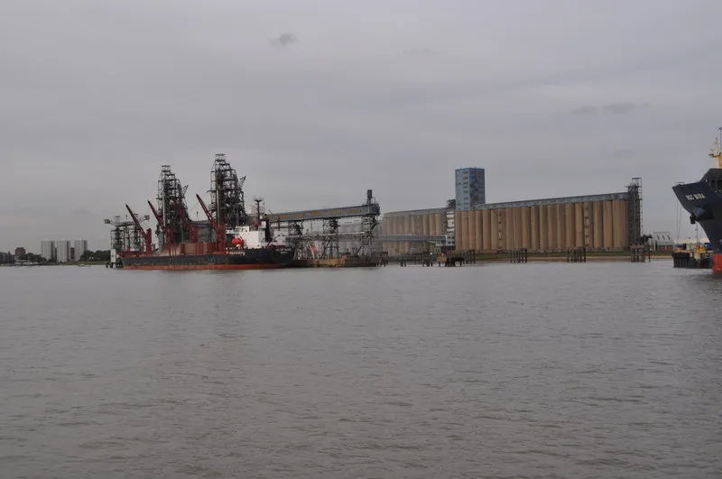 Tilbury Town, Thurrock6 km E
-
East Tilbury Town, Thurrock9.8 km E
-
Stanford-le-Hope Town, Thurrock12 km NE
Sources & licences
Data last updated: · 2 independent sources