Trafford Park
Located in Trafford, England Coordinates: 53°28′08″ N 2°18′43″ W
- Population
- 3,060
- 3.1K
- Elevation
- 28 m
- above sea level
- Local time
- UTC+00:00
- Europe/London · UTC+00:00
About Trafford Park
Trafford Park is a village. Location: Trafford, England. Population: 3,060. Elevation: 28 m.
Trafford Park is an area of the metropolitan borough of Trafford, Greater Manchester, England, opposite Salford Quays on the southern side of the Manchester Ship Canal, 3.4 miles (5.5 km) southwest of Manchester city centre and 1.3 miles (2.1 km) north of Stretford. Until the late 19th century it was the ancestral home of the Trafford family, who sold it to the financier Ernest Terah Hooley in 1896.
Read more on Wikipedia Text: Wikipedia contributors · CC BY-SA 4.0 · shortened
In comparison
- No. 7 of 7 places in Trafford by population
- Nearest larger town: Old Trafford, 2 km SE
- 31 sights and natural places within 10 km Imperial War Museum North, Old Trafford
Nearby attractions & nature
Everything nearby-
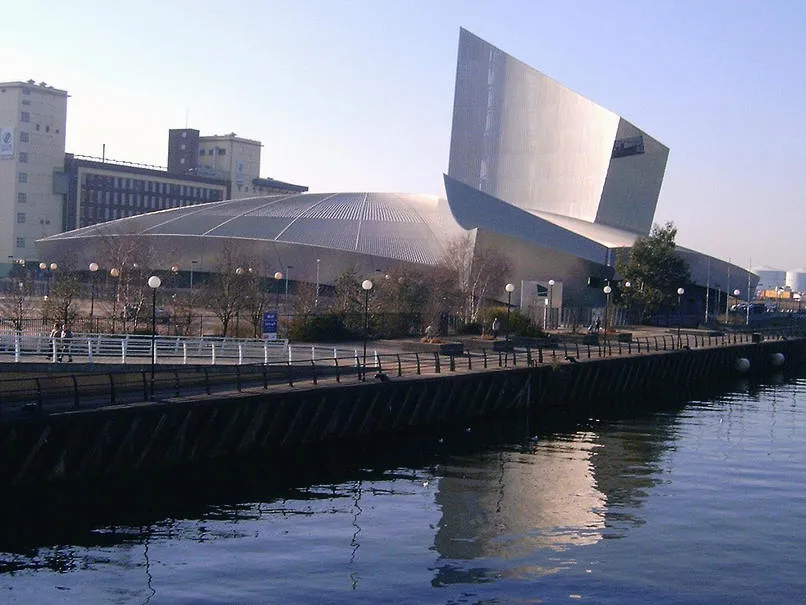 Imperial War Museum North Museum, Trafford0.9 km E
-
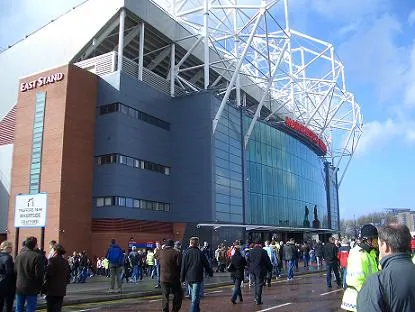 Old Trafford Landmark, Trafford1.5 km SE
-
Old Trafford Cricket Ground Landmark, Trafford2.2 km SE
-
Ordsall Park Natural site, Salford2.2 km E
-
River Medlock River, England2.8 km SE
-
Manchester Museum of Science and Industry (MOSI) Museum, Manchester3.9 km E
Sources & licences
Data last updated: · 2 independent sources