Warburton
Located in Trafford, England Coordinates: 53°24′03″ N 2°26′36″ W
- Elevation
- 22 m
- above sea level
- Local time
- UTC+00:00
- Europe/London · UTC+00:00
- Places inside
- 2
- listed under Warburton
About Warburton
Warburton is a municipality. Location: Trafford, England. Elevation: 22 m.
In comparison
- Nearest larger town: Partington, 2 km NE
- 10 sights and natural places within 10 km River Bollin, River Irwell
- Listed here: Village: 2
Places in Warburton
2 placesNearby attractions & nature
Everything nearby-
River Bollin River, England0.7 km E
-
River Irwell River, England1.9 km NE
-
Dunham Massey Historic site, Dunham Massey3.5 km SE
-
Butchersfield Mountain, Woolston3 km W
-
Altrincham Mound Historic site, Trafford4.7 km E
-
Bowden Watch Hill Historic site, Trafford5.5 km SE
-
Green Walk (Bowdon) Mountain, Trafford5.7 km SE
-
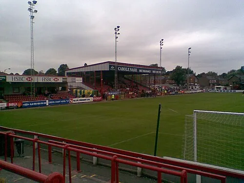 Moss Lane Landmark, Trafford7.5 km E
Other cities and towns in Trafford
-
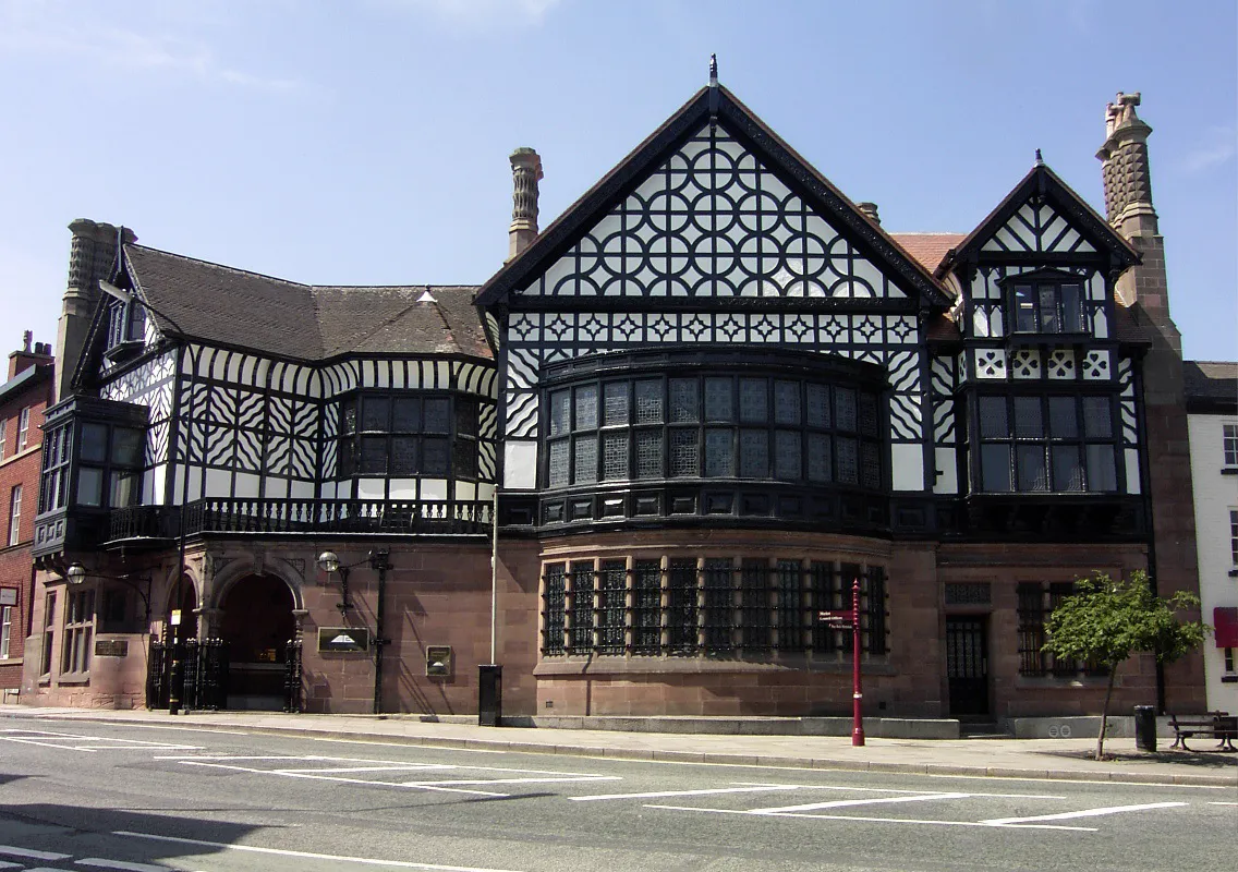 Altrincham Town, Trafford6.5 km E
-
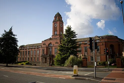 Stretford City, Trafford10 km NE
-
Bowdon Town, Trafford5.9 km SE
-
Timperley Town, Trafford7.3 km E
-
Hale Town, Trafford7.8 km E
-
Hale Barns Town, Trafford9.4 km E
Sources & licences
Data last updated: