Virginia Water
Located in England, United Kingdom Coordinates: 51°24′40″ N 0°36′08″ W
- Elevation
- 40 m
- above sea level
- Local time
- UTC+00:00
- Europe/London · UTC+00:00
About Virginia Water
Virginia Water is a lake. Location: England, United Kingdom. Elevation: 40 m.
In comparison
- 43 sights and natural places within 10 km Shrubs Hill, Savil Garden
Nearest towns and villages
-
Englefield Green Village, Runnymede District2.7 km NE
-
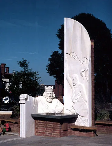 Egham Town, Runnymede District4.1 km NE
-
Virginia Water Village, Runnymede District2.6 km E
-
Runnymede District Municipality, Surrey4.9 km SE
-
Sunninghill Town, Sunninghill and Ascot3.9 km W
-
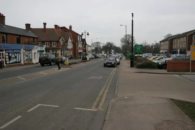 Ascot Town, Sunninghill and Ascot5.1 km W
Nearby attractions & nature
Everything nearby-
Shrubs Hill Mountain, Sunningdale1.4 km SW
-
China Island Island, Old Windsor1.9 km W
-
Savil Garden Natural site, Runnymede District1.7 km N
-
Magna Carta Island Island, Wraysbury4.8 km NE
-
Ribs Down Mountain, Windlesham4.9 km SW
-
Penton Hook Island Island, Spelthorne District7 km E
-
Fox Hills Mountain, Runnymede District5.4 km SE
-
St Ann's Lake Lake, Runnymede District5.6 km E
Sources & licences
Data last updated: