Chapelthorpe
Located in Crigglestone, Wakefield Coordinates: 53°38′07″ N 1°30′50″ W
- Elevation
- 60 m
- above sea level
- Local time
- UTC+00:00
- Europe/London · UTC+00:00
About Chapelthorpe
Chapelthorpe is a village. Location: Crigglestone, Wakefield. Elevation: 60 m.
In comparison
- Nearest larger town: Woolley, 2 km S
- 18 sights and natural places within 10 km Pugneys Country Park, Beacon Hill
Nearby attractions & nature
Everything nearby-
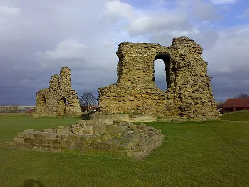 Sandal Castle Historic site, Wakefield3 km NE
-
Beacon Hill Mountain, Woolley2.6 km SW
-
Chevet Park Mountain, Chevet2.6 km E
-
Pugneys Country Park Natural site, Wakefield2.4 km N
-
Calder Island Island, Wakefield3.2 km N
-
Wakefield Lowe Hill Historic site, Wakefield4.1 km N
Sources & licences
Data last updated: