Horbury
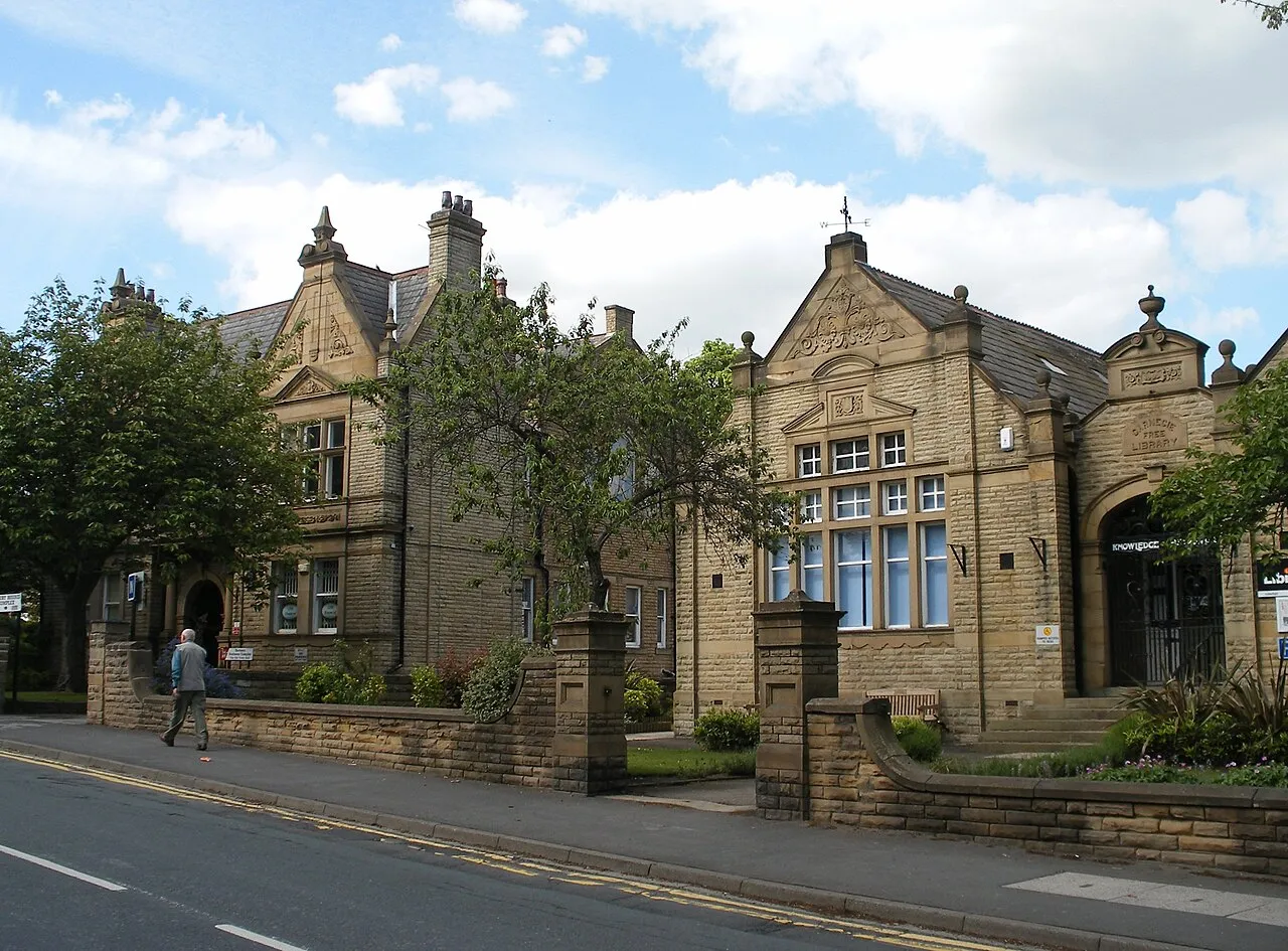
Located in Wakefield, England Coordinates: 53°39′38″ N 1°33′37″ W
- Population
- 10,225
- 10.2K
- Elevation
- 77 m
- above sea level
- Local time
- UTC+00:00
- Europe/London · UTC+00:00
About Horbury
Horbury is a town. Location: Wakefield, England. Population: 10,225. Elevation: 77 m.
Horbury is a town in the City of Wakefield in West Yorkshire, England. Historically in the West Riding of Yorkshire, it is situated north of the River Calder about three miles (5 km) south west of Wakefield and two miles (3 km) to the south of Ossett. It includes the outlying areas of Horbury Bridge and Horbury Junction. At the 2001 census the Horbury and South Ossett ward of Wakefield Metropolitan District Council had a population of 10,002. At the 2011 census the population was 15,032.
Read more on Wikipedia Text: Wikipedia contributors · CC BY-SA 4.0 · shortened
In comparison
- No. 6 of 8 places in Wakefield by population
- Nearest larger town: Ossett, 3 km NW
- 22 sights and natural places within 10 km Calder Island, Pugneys Country Park
Nearby attractions & nature
Everything nearby-
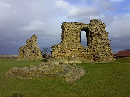 Sandal Castle Historic site, Wakefield4.6 km E
-
Calder Island Island, Wakefield3.6 km E
-
Chantry Chapel Attraction, Wakefield5 km E
-
Wakefield Lowe Hill Historic site, Wakefield3.7 km E
-
Pugneys Country Park Natural site, Wakefield3.7 km E
-
Stennard Island Island, Wakefield5.2 km E
-
Yorkshire Sculpture Park Natural site, Wakefield6 km S
-
Headfield Hill Mountain, Kirklees5.2 km NW
Other cities and towns in Wakefield
-
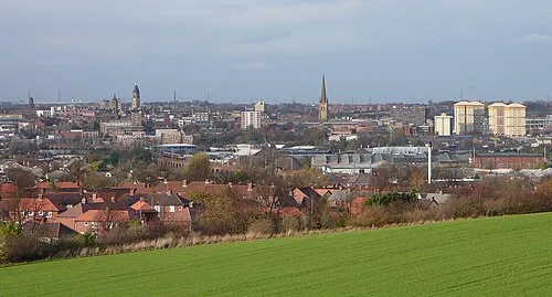 Wakefield City, Wakefield4.8 km NE
-
Crigglestone Municipality, Wakefield3.1 km SE
-
Sitlington Municipality, Wakefield2.8 km SW
-
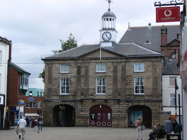 Pontefract Town, Wakefield17 km E
-
Castleford Town, Wakefield15 km NE
-
West Bretton Municipality, Wakefield4.3 km S
Sources & licences
Data last updated: · 2 independent sources