Knottingley
Located in Wakefield, England Coordinates: 53°42′28″ N 1°15′23″ W
- Population
- 13,804
- 13.8K
- Elevation
- 28 m
- above sea level
- Local time
- UTC+00:00
- Europe/London · UTC+00:00
About Knottingley
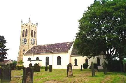
Knottingley is a town. Location: Wakefield, England. Population: 13,804. Elevation: 28 m.
Knottingley is a town in the City of Wakefield, West Yorkshire, England. It lies on the river Aire and the old A1 road before it was bypassed as the A1(M). Historically part of the West Riding of Yorkshire, it has a population of 13,503, increasing to 13,710 for the City of Wakefield ward at the 2011 Census. It makes up the majority of the Knottingley ward represented on Wakefield Council. Close to Knottingley is Ferrybridge Power Station, which had the largest cooling towers of their kind in Europe.
Read more on Wikipedia Text: Wikipedia contributors · CC BY-SA 4.0 · shortened
In comparison
- No. 5 of 8 places in Wakefield by population
- Nearest larger town: Pontefract, 4 km SW
- 14 sights and natural places within 10 km Willow Island, Pontefract Castle
Nearby attractions & nature
Everything nearby-
Willow Island Island, Wakefield0.6 km NE
-
Red Hill Mountain, Wakefield5.2 km W
-
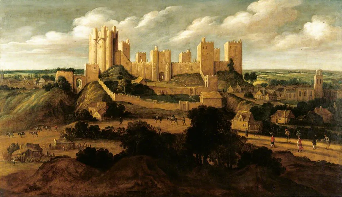 Pontefract Castle Historic site, Wakefield3.4 km SW
-
Prince of Wales Colliery Tip Mountain, Wakefield4 km W
-
Fairnurn Ings Natural site, England5.3 km NW
-
River Calder River, Wakefield7.8 km W
-
Kings Mead Mountain, Wakefield5.6 km SW
-
Beal Island Island, Beal4.6 km E
Other cities and towns in Wakefield
-
Castleford Town, Wakefield7.3 km W
-
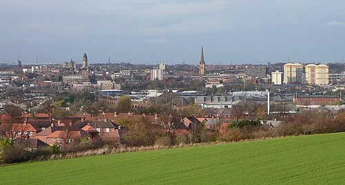 Wakefield City, Wakefield16 km W
-
Darrington Municipality, Wakefield4.2 km S
-
Featherstone Town, Featherstone7.5 km SW
-
Ackworth Municipality, Wakefield7.6 km SW
-
East Hardwick Municipality, Wakefield6.2 km SW
Sources & licences
Data last updated: · 2 independent sources