War Memorial Park
Located in England, United Kingdom Coordinates: 52°23′27″ N 1°31′30″ W
- Elevation
- 100 m
- above sea level
- Local time
- UTC+00:00
- Europe/London · UTC+00:00
About War Memorial Park
War Memorial Park is a natural site. Location: England, United Kingdom.
In comparison
- 20 sights and natural places within 10 km Nick Newbold Stadium, Coventry Caesars Tower
Nearest towns and villages
-
Coventry City, Coventry2 km NE
-
Stivichall Village, Coventry1 km SE
-
Earlsdon Neighbourhood, Coventry0.9 km N
-
Green Lane Neighbourhood, Coventry1.1 km S
-
Canley Gardens Neighbourhood, Coventry1.1 km NW
-
Westwood Gardens Neighbourhood, Coventry1.4 km W
Nearby attractions & nature
Everything nearby-
 Coventry Cathedral Attraction, Coventry2.3 km NE
-
 Coventry Transport Museum Museum, Coventry2.5 km NE
-
Nick Newbold Stadium Landmark, Coventry1.7 km N
-
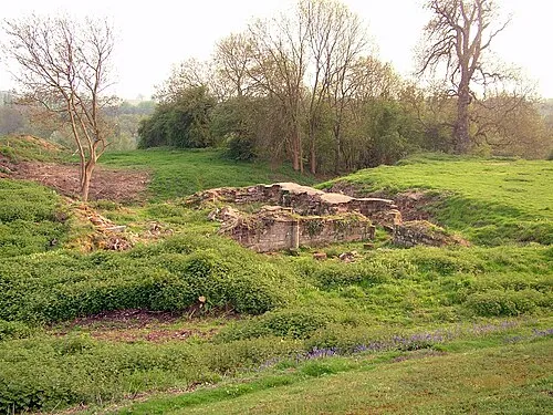 Baginton Castle Historic site, Baginton2.9 km SE
-
Coventry Caesars Tower Landmark, Coventry2.2 km NE
-
Herbert Art Gallery and Museum Museum, Coventry2.2 km NE
-
Belgrade Theatre Attraction, Coventry2.3 km NE
-
Whitefriars Monastery Historic site, Coventry2.3 km NE
Sources & licences
Data last updated: