Atherton
Located in Wigan, England Coordinates: 53°31′25″ N 2°29′37″ W
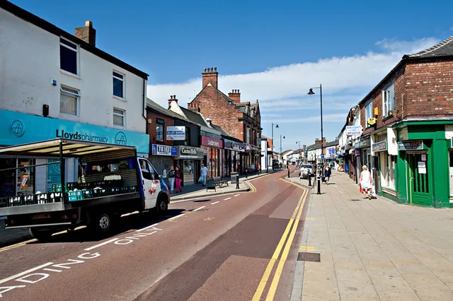
- Population
- 22,000
- 22K
- Elevation
- 60 m
- above sea level
- Local time
- UTC+00:00
- Europe/London · UTC+00:00
About Atherton
Atherton is a town. Location: Wigan, England. Population: 22,000. Elevation: 60 m.
Atherton () is a town in the Metropolitan Borough of Wigan, Greater Manchester, England, historically part of Lancashire. It is 5 miles (8 km) south of Bolton, 7 miles (11 km) east of Wigan, and 10 miles (16 km) northwest of Manchester. During the Industrial Revolution, the town was a key part of the Manchester Coalfield. Atherton was associated with coal mining and nail manufacture from the 14th century, encouraged by outcropping coal seams.
Read more on Wikipedia Text: Wikipedia contributors · CC BY-SA 4.0 · shortened
In comparison
- No. 6 of 9 places in Wigan by population
- Nearest larger town: Tyldesley, 2 km SE
- 12 sights and natural places within 10 km Firs Park, Top o' Cow
Nearby attractions & nature
Everything nearby-
Firs Park Natural site, Wigan3.9 km SW
-
Pennington Hall Park Natural site, Wigan4.6 km SW
-
Top o' Cow Mountain, Bolton4 km NE
-
Westleigh Brook River, Wigan4.8 km SW
-
Newcombe Drive (Greenheys) Mountain, Salford4.9 km E
-
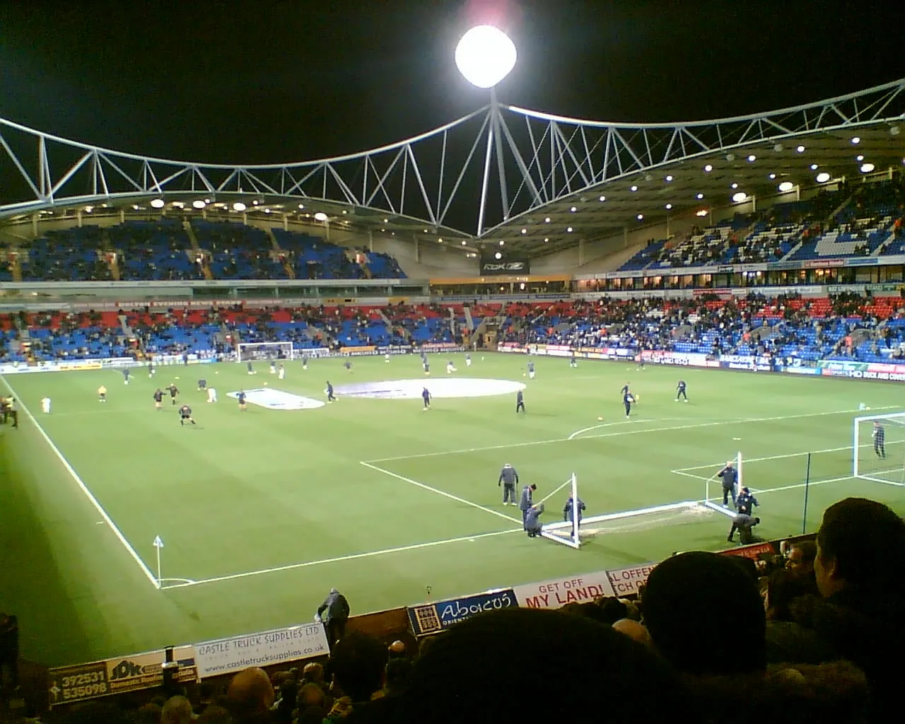 University of Bolton Stadium Landmark, Bolton6.9 km NW
-
Octagon Theatre, Bolton Attraction, Bolton7.3 km NE
-
 Old Trafford Landmark, Trafford15 km SE
Other cities and towns in Wigan
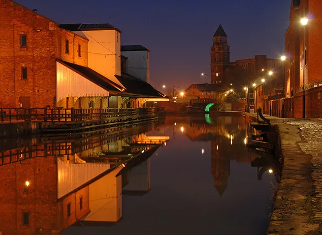
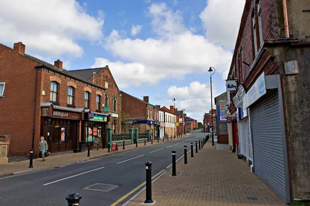
Sources & licences
Data last updated: · 2 independent sources