Longshaw
Located in Wigan, England Coordinates: 53°30′54″ N 2°42′35″ W
- Elevation
- 128 m
- above sea level
- Local time
- UTC+00:00
- Europe/London · UTC+00:00
About Longshaw
Longshaw is a village. Location: Wigan, England. Elevation: 128 m.
Longshaw is a small residential and agricultural area within Billinge Higher End at the western boundary of the Metropolitan Borough of Wigan, in Greater Manchester, England. It is situated at the northern foot of Billinge Hill on the B5206 road. Historically, Longshaw was part of Lancashire.
Read more on Wikipedia Text: Wikipedia contributors · CC BY-SA 4.0 · shortened
In comparison
- Nearest larger town: Billinge, 2 km S
- 7 sights and natural places within 10 km Billinge Hill, Crank Hill
Nearby attractions & nature
Everything nearby-
Billinge Hill Mountain, Billinge Chapel End0.9 km SW
-
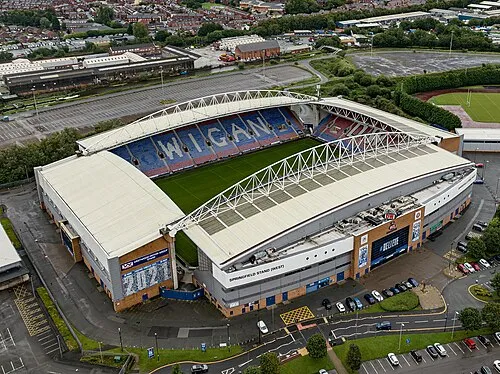 DW Stadium Landmark, Shevington5.2 km NE
-
Crank Hill Mountain, Rainford3.6 km SW
-
Wigan Athletic FC Landmark, Wigan5 km NE
-
Ashurst's Beacon Mountain, Dalton6.4 km NW
-
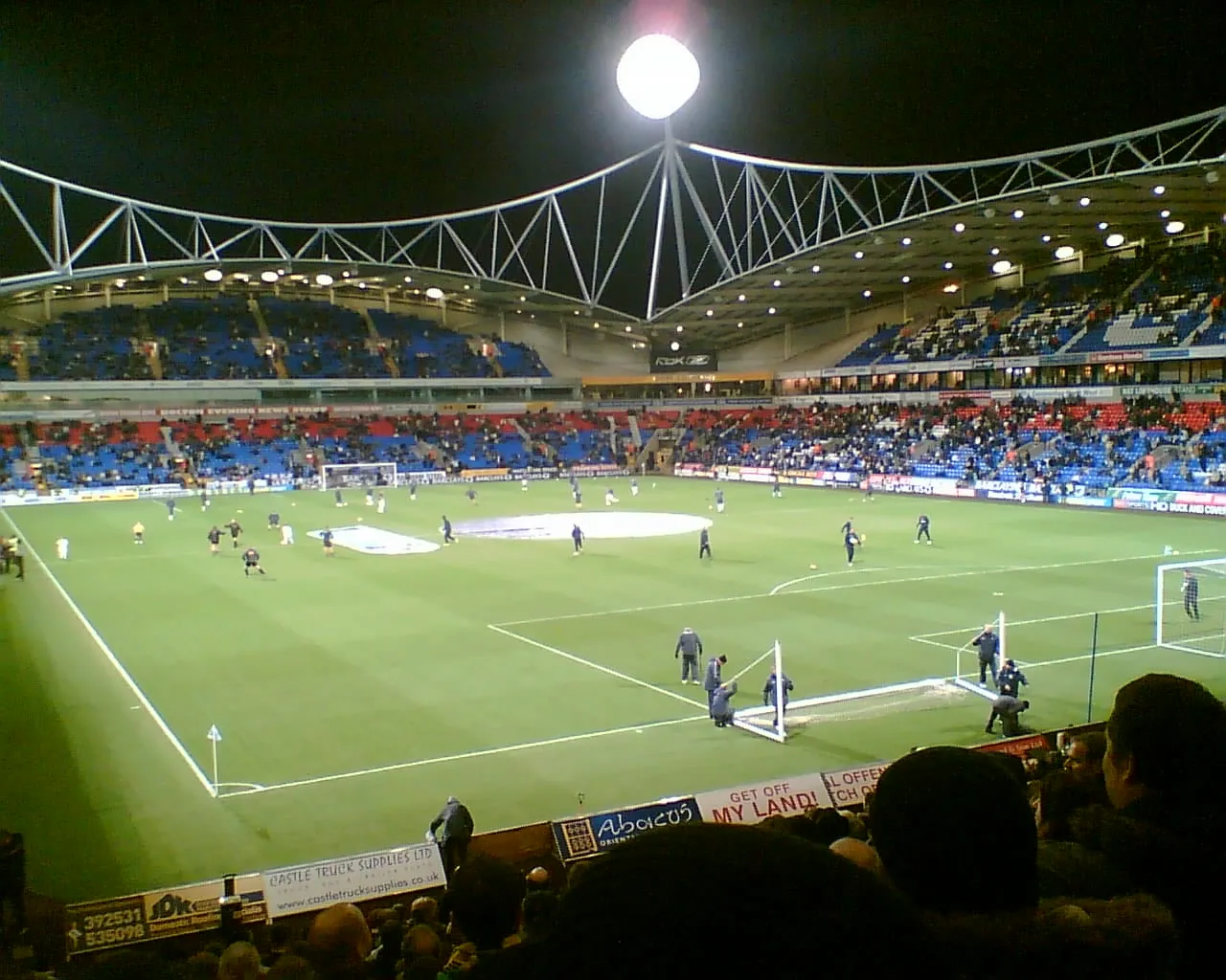 University of Bolton Stadium Landmark, Bolton14 km NE
Sources & licences
Data last updated: · 2 independent sources