Nettleton
Located in Wiltshire, England Coordinates: 51°30′01″ N 2°16′45″ W
- Elevation
- 133 m
- above sea level
- Local time
- UTC+00:00
- Europe/London · UTC+00:00
- Places inside
- 4
- listed under Nettleton
About Nettleton
Nettleton is a municipality. Location: Wiltshire, England. Elevation: 133 m.
In comparison
- Nearest larger town: Acton Turville, 3 km N
- 7 sights and natural places within 10 km Castle Combe, Dyrham Park
- Listed here: Village: 4
Airports nearest to Nettleton
- Bristol Airport (BRS) Bristol 33 km
- Cardiff International Airport (CWL) Cardiff 75 km
- Bournemouth Airport (BOH) Bournemouth 86 km
Straight-line distance; airports with scheduled flights only. Source: OurAirports (public domain).
Places in Nettleton
4 places-
Burton Village
-
Nettleton Village
-
Nettleton Shrub Village
-
West Kington Village
Nearby attractions & nature
Everything nearby-
Castle Combe Historic site, Castle Combe3.2 km E
-
Dyrham Park Historic site, Dyrham and Hinton6.8 km W
-
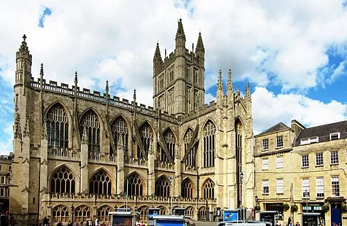 Bath Abbey Attraction, Bath and North East Somerset14 km SW
-
Widdenhill Mountain, Horton7.7 km NW
-
Corsham Historic site, Corsham7.5 km SE
-
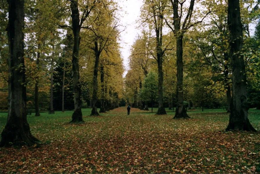 Westonbirt Arboretum Attraction, Westonbirt with Lasborough12 km N
-
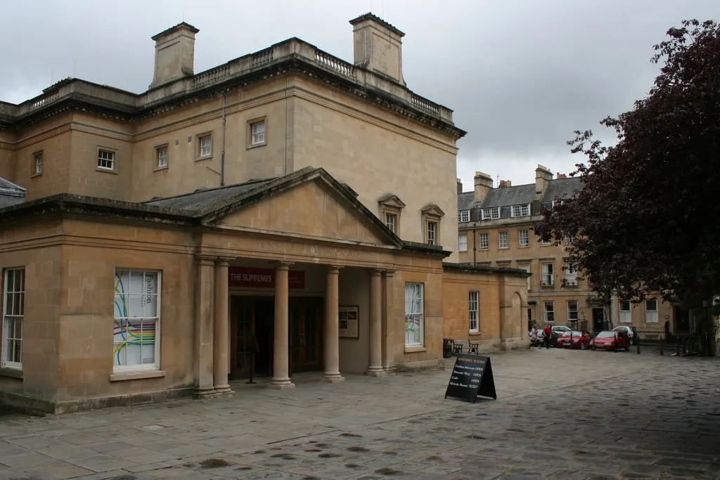 Fashion Museum Museum, Bath and North East Somerset14 km SW
-
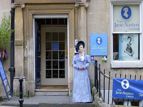 Jane Austen Centre Museum, Bath and North East Somerset14 km SW
Sources & licences
Data last updated: