Hoylake
Located in Wirral, England Coordinates: 53°23′26″ N 3°10′50″ W
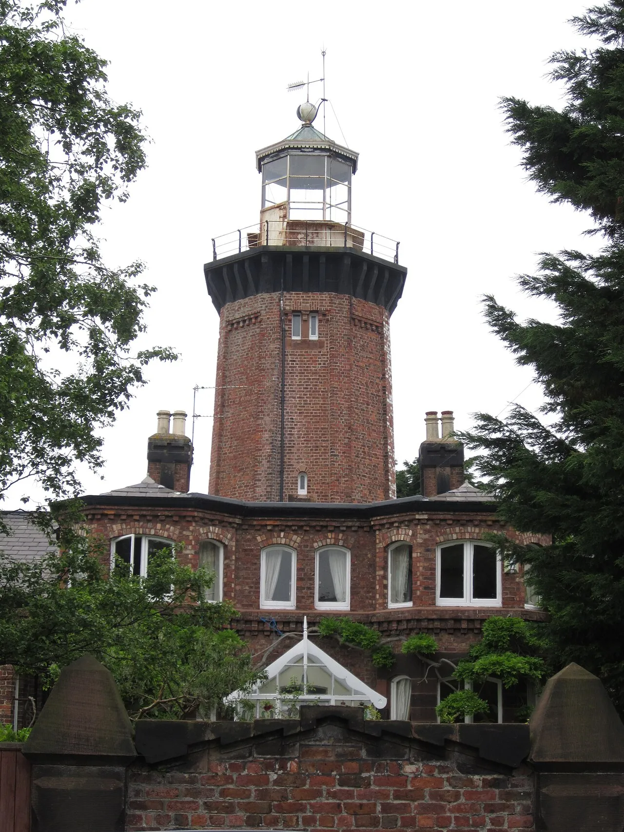
- Population
- 5,710
- 5.7K
- Elevation
- 12 m
- above sea level
- Local time
- UTC+00:00
- Europe/London · UTC+00:00
About Hoylake
Hoylake is a town. Location: Wirral, England. Population: 5,710. Elevation: 12 m.
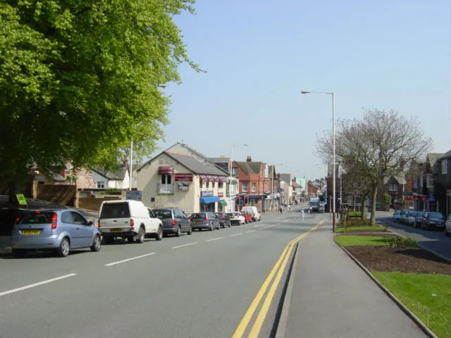
Hoylake () is a seaside town in the Metropolitan Borough of Wirral, Merseyside, England. It is at the north west of the Wirral Peninsula, near West Kirby and where the River Dee meets the Irish Sea. At the 2021 census, the built up area had a population of 5,315. In the nineteenth century, the town grew up around the small fishing village of Hoose (lit. 'hollows'), a settlement that was recorded in the Domesday Book of 1086 within the Hundred of 'Wilaveston' (historically part of Cheshire).
Read more on Wikipedia Text: Wikipedia contributors · CC BY-SA 4.0 · shortened
At a glance
- Built
- 1764
Source: Wikidata
In comparison
- No. 14 of 21 places in Wirral by population
- Nearest larger town: West Kirby, 2 km S
- 12 sights and natural places within 10 km Little Eye, Caldy Hill
Airports nearest to Hoylake
- Liverpool John Lennon Airport (LPL) Liverpool 23 km
- Manchester Airport (MAN) Manchester, Greater Manchester 60 km
- Leeds Bradford Airport (LBA) Leeds, West Yorkshire 114 km
Straight-line distance; airports with scheduled flights only. Source: OurAirports (public domain).
Nearby attractions & nature
Everything nearby-
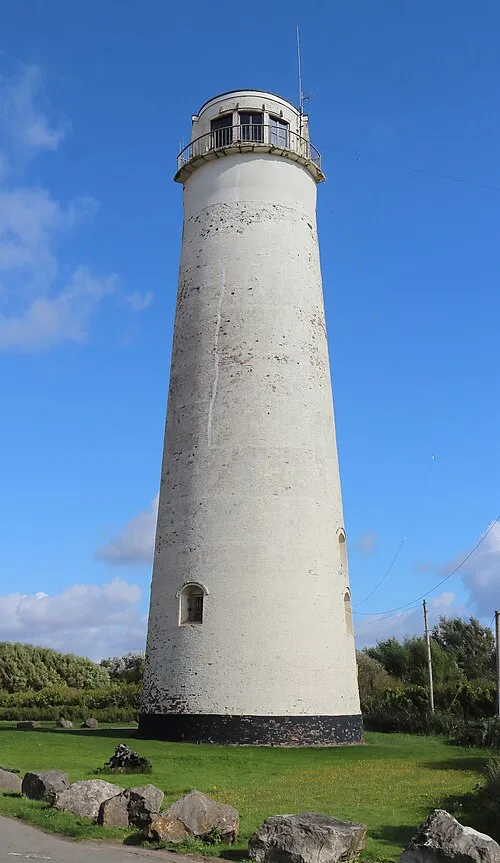 Leasowe Lighthouse Landmark, Wirral4.4 km NE
-
Little Eye Island, Wirral2.7 km SW
-
Caldy Hill Mountain, Wirral3.4 km S
-
Hilbre Island Island, Wirral3.6 km W
-
Paton Field Landmark, Wirral4.3 km SE
-
River Dee River, Wirral4.5 km S
-
Thurstaston Beach Beach, Wirral6.4 km SE
-
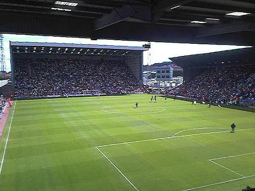 Prenton Park Landmark, Wirral10 km E
Other cities and towns in Wirral
-
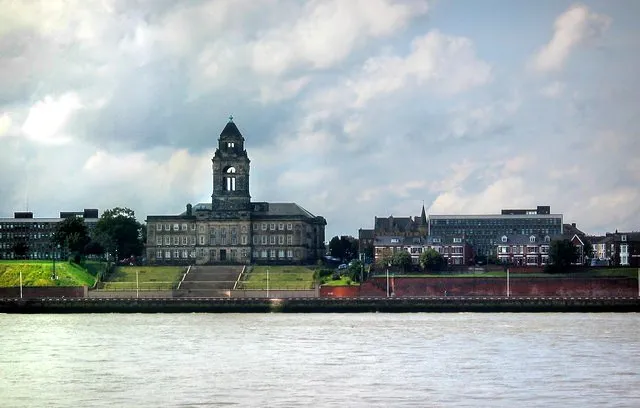 Wallasey City, Wirral8.5 km NE
-
 Heswall Town, Wirral9 km SE
-
Birkenhead City, Wirral11 km E
-
Prenton Town, Wirral8.8 km E
-
Bebington Town, Wirral12 km E
-
Bromborough Town, Wirral14 km E
Sources & licences
Data last updated: · 2 independent sources