Torr Head
Located in Northern Ireland, United Kingdom Coordinates: 55°11′51″ N 6°03′43″ W
- Local time
- UTC+00:00
- Europe/London · UTC+00:00
About Torr Head
Torr Head is a natural site. Location: Northern Ireland, United Kingdom.
Torr Head, also known as Tor(r) Point (Irish: Cionn an Toir, ‘headland of the tor/pinnacle’), is a headland on the coast of the Straits of Moyle, in the civil parish of Culfeightrin, County Antrim, Northern Ireland. The Irish Grid reference is D 234 406.
Read more on Wikipedia Text: Wikipedia contributors · CC BY-SA 4.0 · shortened
In comparison
- 11 sights and natural places within 10 km Port-aleen Bay, Carnanmore
Airports nearest to Torr Head
- Campbeltown Airport (CAL) Campbeltown 36 km
- Islay Airport (ILY) Isle of Islay, Argyll and Bute 55 km
- Belfast International Airport (BFS) Belfast 61 km
Straight-line distance; airports with scheduled flights only. Source: OurAirports (public domain).
Nearest towns and villages
-
Torr Village, Causeway Coast and Glens1.6 km S
-
Ballypatrick Village, Causeway Coast and Glens5.9 km W
-
Ballycastle Town, Causeway Coast and Glens12 km W
-
Ballyvoy Village, Causeway Coast and Glens7.7 km W
-
Cushendun Village, Causeway Coast and Glens7.8 km S
-
Cushendall Village, Causeway Coast and Glens13 km S
Nearby attractions & nature
Everything nearby-
Port-aleen Bay Natural site, Causeway Coast and Glens0.6 km S
-
Carnanmore Mountain, Causeway Coast and Glens2.6 km SW
-
Loughan Bay Natural site, Causeway Coast and Glens2.8 km SE
-
Murlough Bay Natural site, Causeway Coast and Glens3.7 km NW
-
Carneighaneigh Mountain, Causeway Coast and Glens5.7 km SW
-
Cushleake Mountain Mountain, Causeway Coast and Glens5.3 km S
-
Fair Head Natural site, Causeway Coast and Glens6.4 km NW
-
Crockaneel Mountain, Causeway Coast and Glens8.3 km SW
More nature in United Kingdom
-
Gruig Top Mountain, Causeway Coast and Glens10 km S
-
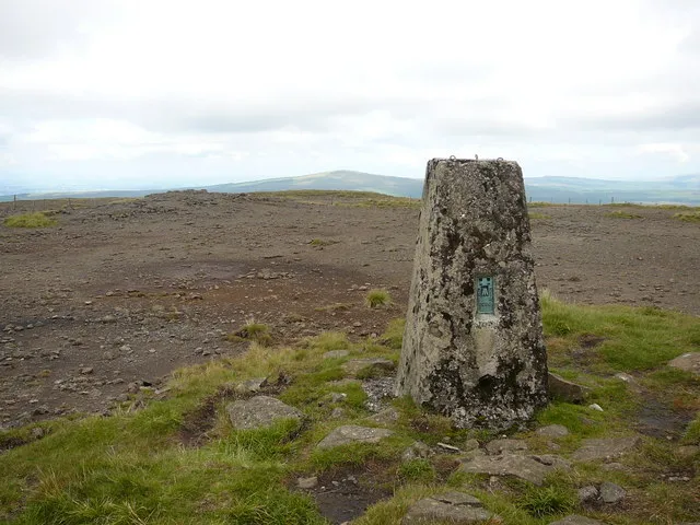 Trostan Mountain, Causeway Coast and Glens18 km S
-
Altacarry Head Natural site, Causeway Coast and Glens14 km NW
-
Croisshliabh Mountain, Causeway Coast and Glens11 km S
-
Cushendun Bay Natural site, Causeway Coast and Glens7.8 km S
-
Slieveanorra Mountain, Causeway Coast and Glens17 km SW
Sources & licences
Data last updated: · 2 independent sources