Carnoustie
Located in Angus, Scotland Coordinates: 56°30′09″ N 2°42′19″ W
- Population
- 11,310
- 11.3K
- Elevation
- 15 m
- above sea level
- Local time
- UTC+00:00
- Europe/London · UTC+00:00
About Carnoustie
Carnoustie is a town. Location: Angus, Scotland. Population: 11,310. Elevation: 15 m.
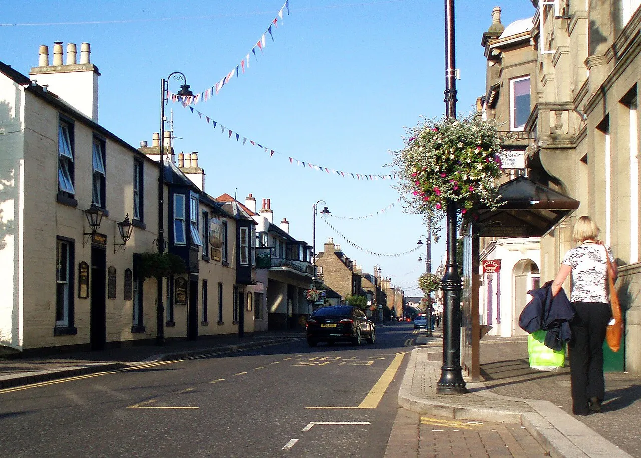
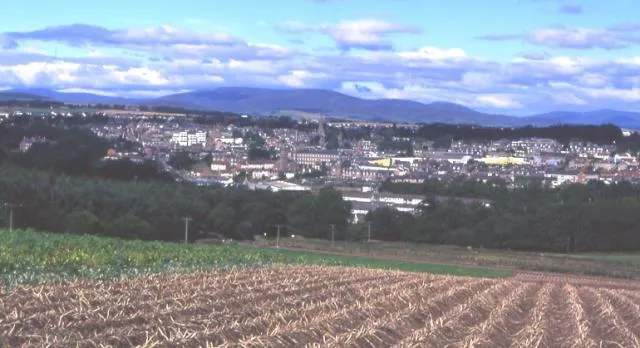
Carnoustie (; Scottish Gaelic: Càrn Ùstaidh) is a seaside town and former police burgh in the council area of Angus, Scotland. It is at the mouth of the Barry Burn on the North Sea coast. In 2022, Carnoustie had a population of 11,359, making it the fourth-largest town in Angus. The town was founded in the late 18th century, and grew rapidly throughout the 19th century due to the growth of the local textile industry.
Read more on Wikipedia Text: Wikipedia contributors · CC BY-SA 4.0 · shortened
At a glance
- Area
- 3.6 km²
Source: Wikidata
In comparison
- No. 4 of 16 places in Angus by population
- Nearest larger town: Arbroath, 10 km NE
- 19 sights and natural places within 10 km Carnoustie Bay, Barry Burn
Nearby attractions & nature
Everything nearby-
Carnoustie Bay Natural site, Scotland0.7 km S
-
Barry Burn River, Angus2.2 km W
-
Big Wood Natural site, Angus3.3 km SW
-
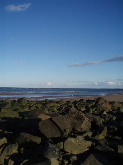 Gaa Sand Island, Angus4.1 km S
-
Strip Wood Natural site, Angus4.1 km SW
-
Sands of Barry Natural site, Angus4.1 km SW
-
Former Military Base Historic site, Angus4.3 km SW
-
Buddon Ness Natural site, Angus4.1 km S
Other cities and towns in Angus
-
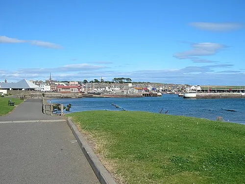 Arbroath Town, Angus9.9 km NE
-
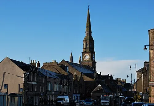 Forfar City, Angus19 km NW
-
 Brechin Town, Angus25 km N
-
 Kirriemuir Town, Angus26 km NW
-
Montrose Town, Angus28 km NE
Sources & licences
Data last updated: · 2 independent sources