Glen Doll
Located in Angus, Scotland Coordinates: 56°52′00″ N 3°13′00″ W
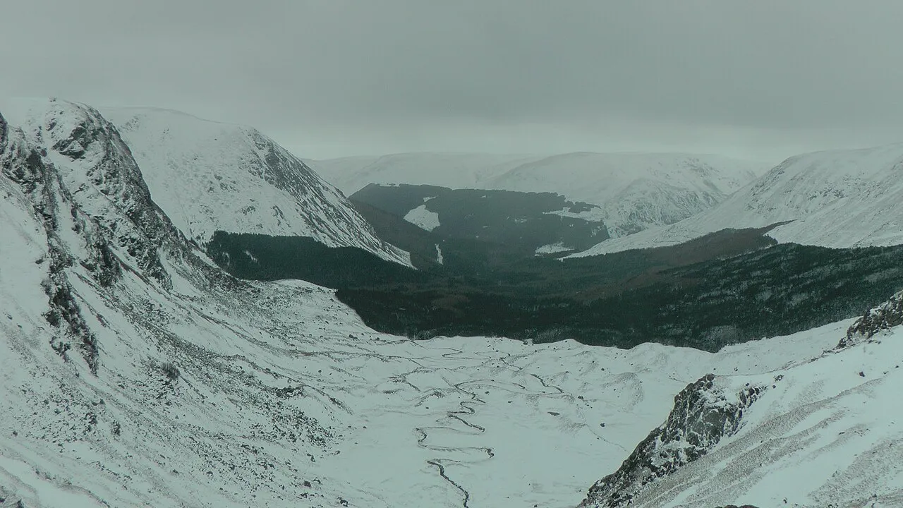
- Elevation
- 392 m
- above sea level
- Local time
- UTC+00:00
- Europe/London · UTC+00:00
About Glen Doll
Glen Doll is a natural site. Location: Angus, Scotland.
Glen Doll, also sometimes spelt Glendoll, lies within the Cairngorms National Park, Scotland, at the top of Glen Clova, in an area of steep hills, corries and Munros. It includes the Corrie Fee National Nature Reserve, which has many endangered plants. The nearest town is Kirriemuir. The glen is in the south eastern Grampians, and the river which runs through it drains into Glen Clova, which extends towards the coast of Angus. An ancient track, Jock's Road, that starts in the glen, ends at Braemar.
Read more on Wikipedia Text: Wikipedia contributors · CC BY-SA 4.0 · shortened
In comparison
- 85 sights and natural places within 10 km Shank of Drumfollow, Craig Mellon
Nearest towns and villages
Nearby attractions & nature
Everything nearby-
Shank of Drumfollow Mountain, Angus1.7 km S
-
Craig Mellon Mountain, Angus1.7 km N
-
Cairn Damff Mountain, Angus2.3 km NW
-
Cairn Broadlands Mountain, Angus2.4 km NE
-
West Corrie Top Mountain, Angus2.8 km N
-
Cairn Lunkard Mountain, Angus3.6 km NW
-
Craigs of Loch Esk Mountain, Angus3.7 km NW
-
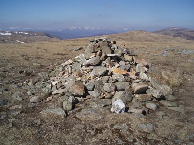 Tom Buidhe Mountain, Angus5.5 km NW
More nature in United Kingdom
-
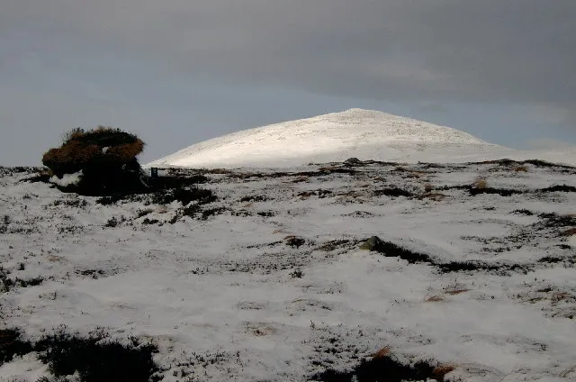 Broad Cairn Mountain, Angus6.2 km N
-
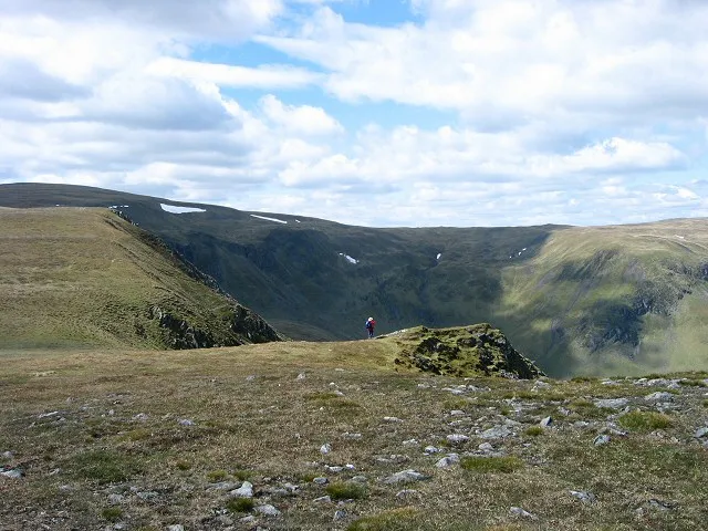 Monega Hill Mountain, Angus7.3 km W
-
Mayar Mountain, Angus3.8 km S
-
Driesh Mountain, Angus4.2 km SE
-
Bachnagairn Natural site, Angus3.8 km N
-
Cairn of Gowal Mountain, Angus7.2 km NW
Sources & licences
Data last updated: · 2 independent sources