Monifieth
Located in Angus, Scotland Coordinates: 56°28′56″ N 2°49′02″ W
- Population
- 8,210
- 8.2K
- Elevation
- 16 m
- above sea level
- Local time
- UTC+00:00
- Europe/London · UTC+00:00
About Monifieth
Monifieth is a town. Location: Angus, Scotland. Population: 8,210. Elevation: 16 m.
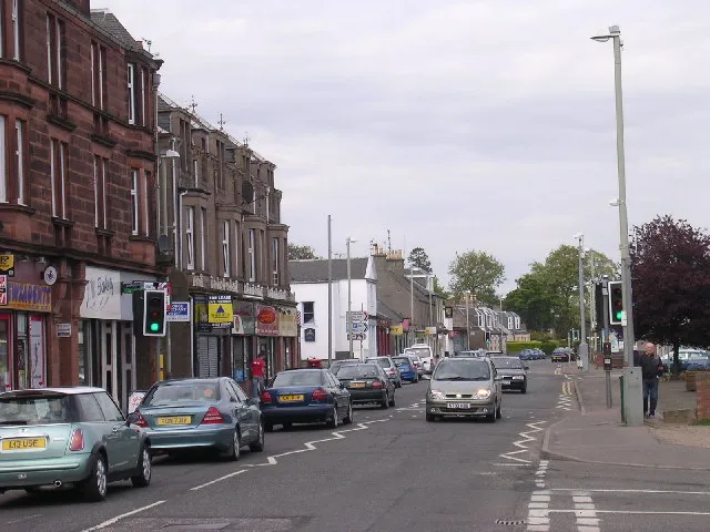
Monifieth (Scottish Gaelic: Monadh Fotha) is a coastal town and former police burgh in the council area of Angus, Scotland. It is situated on the north bank of the Firth of Tay on the east coast. In 2022, the population of Monifieth was 9,367, making it the fifth largest town in Angus. The presence of a number of class II and III Pictish stones points to Monifieth having had some importance as an ecclesiastical centre in the early medieval period.
Read more on Wikipedia Text: Wikipedia contributors · CC BY-SA 4.0 · shortened
In comparison
- No. 5 of 16 places in Angus by population
- Nearest larger town: Broughty Ferry, 3 km W
- 28 sights and natural places within 10 km Digby Water, Buddon Burn
Nearby attractions & nature
Everything nearby-
Buddon Burn River, Angus2.1 km E
-
Digby Water River, Scotland2 km SW
-
Laws Hill Mountain, Angus2.4 km N
-
Roman Hill Mountain, Dundee City2.1 km NW
-
Barry Lighthouse Landmark, Angus4.8 km E
-
Barry Burn River, Angus5.1 km E
-
Strip Wood Natural site, Angus3.5 km E
-
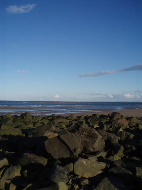 Gaa Sand Island, Angus6.4 km E
Other cities and towns in Angus
-
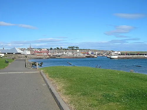 Arbroath Town, Angus17 km NE
-
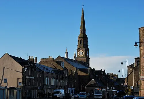 Forfar City, Angus19 km N
-
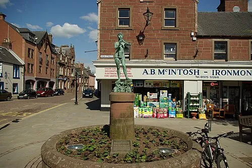 Kirriemuir Town, Angus24 km NW
-
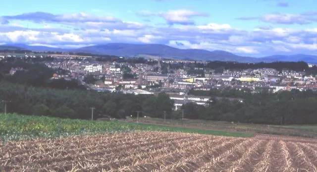 Brechin Town, Angus29 km N
-
Montrose Town, Angus34 km NE
Sources & licences
Data last updated: · 2 independent sources