Mount Battock
Located in Angus, Scotland Coordinates: 56°56′57″ N 2°44′31″ W
- Elevation
- 778 m
- above sea level
- Local time
- UTC+00:00
- Europe/London · UTC+00:00
About Mount Battock
Mount Battock is a mountain. Location: Angus, Scotland. Elevation: 778 m.
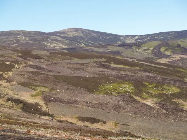
Mount Battock (778 m) is a mountain in the Mounth on the eastern edge of the Scottish Highlands, on the border between Aberdeenshire and Angus. A rounded peak, it is located on the northern side of Glen Esk, and is the most easterly Corbett, also making it the most easterly mountain in Scotland. The nearest settlement is Tarfside.
Read more on Wikipedia Text: Wikipedia contributors · CC BY-SA 4.0 · shortened
In comparison
- No. 1417 of 18223 mountains in United Kingdom by elevation
- 50 sights and natural places within 10 km Hill of Cammie, Stobie Hillock
Nearest towns and villages
Nearby attractions & nature
Everything nearby-
Hill of Cammie Mountain, Aberdeenshire2.5 km W
-
Stobie Hillock Mountain, Aberdeenshire3.2 km SE
-
Cock Hill Mountain, Aberdeenshire3.3 km NW
-
Baudnacauner Mountain, Aberdeenshire3.8 km N
-
Mudlee Bracks Mountain, Angus4.1 km W
-
Sandy Hill Mountain, Aberdeenshire4.6 km E
-
Shank of Mondair Mountain, Angus4.7 km SE
-
Forest of Birse Natural site, Aberdeenshire4.6 km NW
More nature in United Kingdom
-
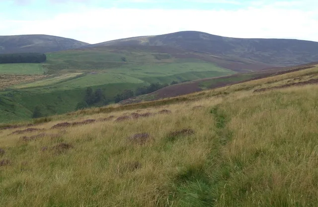 Glen Esk Natural site, Angus7.4 km S
-
Hill of Cat Mountain, Angus7 km W
-
Cairny Hill Mountain, Angus5 km W
-
Craig Soales Mountain, Angus5.2 km SW
-
Craig Crane Mountain, Angus6.2 km SW
-
Craig of Dalhastnie Mountain, Angus6.7 km S
Sources & licences
Data last updated: · 2 independent sources