- Elevation
- 589 m
- above sea level
- Local time
- UTC+00:00
- Europe/London · UTC+00:00
- Airports
- GLA Glasgow Airport75 km
- PIK Glasgow Prestwick Airport111 km
About Beinn Larachan
Beinn Larachan is a mountain. Location: Argyll and Bute, Scotland. Elevation: 589 m. The nearest airport is Glasgow Airport (75 km). Nearby sights include Meall nan Uan and Meall Beithe.
Photos of Beinn Larachan
-
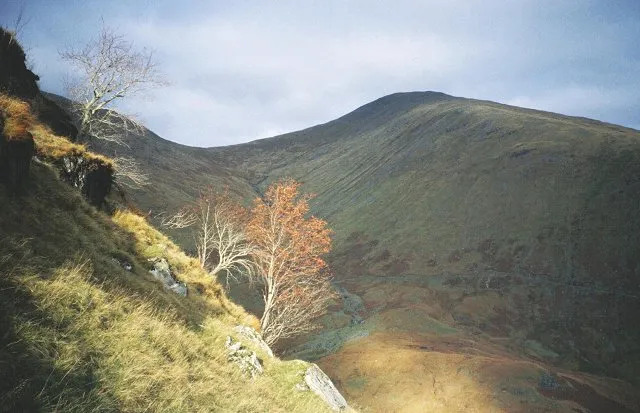
Beinn Eunaich Richard Webb · CC BY-SA 2.0 -
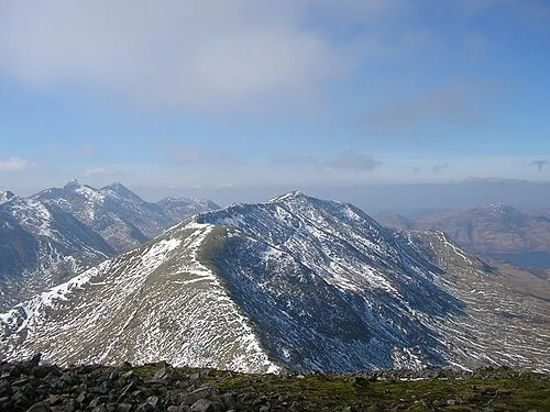
Beinn a' Chochuill Graham Lewis · CC BY 2.0 -
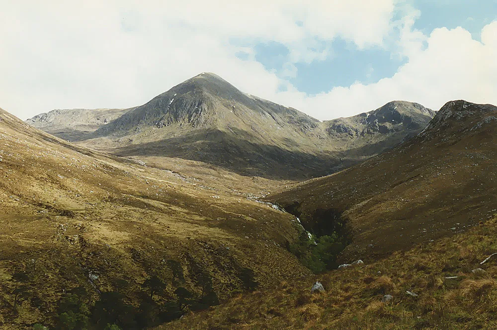
Glas Bheinn Mhor Nigel Brown · CC BY-SA 2.0 -
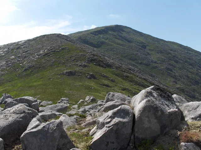
Beinn nan Aighenan Andrew Smith · CC BY-SA 2.0


Climate of Beinn Larachan
This month · November
A wet month
Day 5° · Night 1° · Rain 232 mm
- Hottest month
- July (day 15°)
- Coldest month
- January (night -1°)
- Wettest month
- January (258 mm)
- Driest month
- June (105 mm)
Bars: average monthly low and high temperature. Below: precipitation. Monthly averages for 1970–2000 at about 18 km resolution, adjusted for elevation. Highlighted months are mild and relatively dry. Source: WorldClim 2.1 (CC BY 4.0).
Show values as a table
| Month | Jan | Feb | Mar | Apr | May | Jun | Jul | Aug | Sep | Oct | Nov | Dec |
|---|---|---|---|---|---|---|---|---|---|---|---|---|
| Average high (°C) | 3° | 3° | 5° | 8° | 11° | 13° | 15° | 14° | 12° | 8° | 5° | 3° |
| Average low (°C) | -1° | -1° | -1° | 1° | 4° | 6° | 8° | 8° | 6° | 4° | 1° | -1° |
| Precipitation (mm) | 258 | 168 | 188 | 111 | 107 | 105 | 122 | 146 | 200 | 230 | 232 | 238 |
How to get to Beinn Larachan
The nearest airport is Glasgow Airport (GLA), 75 km to the southeast as the crow flies. The nearest large city is Glasgow, 81 km to the southeast.
Airports
- Glasgow Airport (GLA) Glasgow 75 kmsoutheast
- Glasgow Prestwick Airport (PIK) Prestwick, South Ayrshire 111 kmsouth
- Edinburgh Airport (EDI) Ingliston, Edinburgh 114 kmsoutheast
Nearby large cities
- Glasgow Population: 626.4K 81 kmsoutheast
- Dundee Population: 148.2K 122 kmeast
- Edinburgh Population: 515K 124 kmsoutheast
- Aberdeen Population: 198.6K 189 kmnortheast
- Belfast Population: 348K 218 kmsouth
Straight-line distances; road distances are longer. Airport data: OurAirports.
Day trips from Beinn Larachan
Within 100 km: 109 historic and cultural sites, 4,408 natural sites, 1,343 lakes, rivers and coasts.
0–25 km417 places
- Inishail Island 15 kmSW
- Fraoch Eilean Island 12 kmSW
- Sgeir Dubh Island 23 kmW
- Eilean an t-Sagairt Island 17 kmSW
25–60 km2,142 places
- Scarba Island 58 kmSW
- Eriska Island 29 kmW
- Torsa Island Island 48 kmSW
- Shuna Island Island 30 kmNW
60–100 km3,301 places
- Isle of Arran Island 99 kmS
- Great Cumbrae Island Island 79 kmS
- Colonsay Island 91 kmSW
- Eigg Island 88 kmNW
Straight-line distances.
Nearest towns and villages
-
Edendonich Village, Argyll and Bute7.7 km S
-
Stronmilchan Village, Argyll and Bute7.7 km S
-
Dalmally Village, Argyll and Bute8.5 km S
-
Bridge of Orchy Village, Argyll and Bute12 km E
-
Lochawe Village, Argyll and Bute10 km SW
-
Ardmaddy Village, Argyll and Bute11 km W
Nearby attractions & nature
Everything nearby-
Meall nan Uan Mountain, Argyll and Bute1 km NE
-
Meall Beithe Mountain, Argyll and Bute1.7 km W
-
Meall Garbh Mountain, Argyll and Bute1.9 km NW
-
Meall Buidhe Mountain, Argyll and Bute1.9 km N
-
Beinn Mhic Mhonaidh Mountain, Argyll and Bute2.6 km E
-
Beinn Lurachan Mountain, Argyll and Bute2.6 km SW
-
Meall Copagach Mountain, Argyll and Bute3.4 km SW
-
Beinn a' Chuirn Mountain, Argyll and Bute3.7 km NE
More nature in United Kingdom
-
Beinn Eunaich Mountain, Argyll and Bute5.6 km SW
-
Beinn nan Aighenan Mountain, Argyll and Bute6 km NW
-
Beinn a' Chochuill Mountain, Argyll and Bute7.9 km SW
-
Glas Bheinn Mhor Mountain, Argyll and Bute7.9 km NW
-
Beinn Suidhe Mountain, Argyll and Bute5.2 km NE
-
Glen Strae Natural site, Argyll and Bute5.3 km S
Sources & licences
Data last updated: