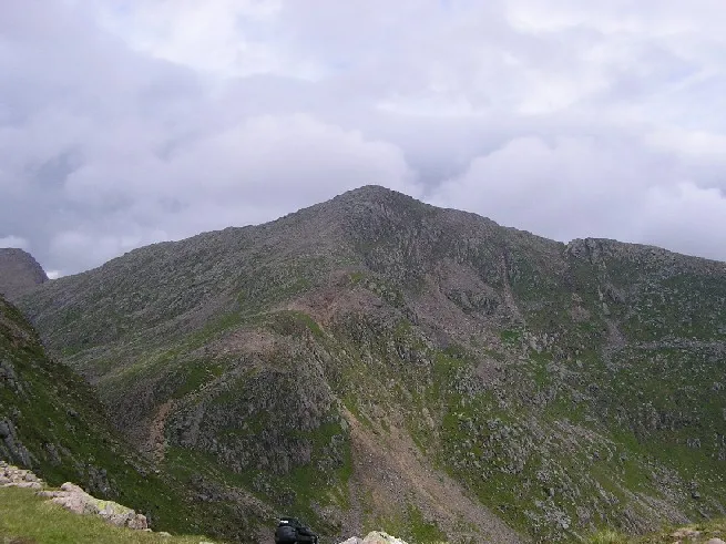
- Elevation
- 1,126 m
- above sea level
- Local time
- UTC+00:00
- Europe/London · UTC+00:00
- Airports
- GLA Glasgow Airport76 km
- TRE Tiree Airport107 km
About Ben Cruachan
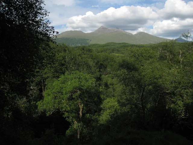
Ben Cruachan is a mountain. Location: Argyll and Bute, Scotland. Elevation: 1,126 m.
Ben Cruachan (Scottish Gaelic: Cruachan Beann) is a mountain that rises to 1,126 metres (3,694 ft), the highest in Argyll and Bute, Scotland. It gives its name to the Cruachan Dam, a pumped-storage hydroelectric power station located in a cavern inside the mountain. It is the high point of a ring of mountains, known as the Cruachan Horseshoe, that surrounds the power station reservoir. The horseshoe includes a further Munro (Stob Daimh), a Corbett (Beinn a' Bhuiridh), and several subsidiary summits.
Source: Wikipedia · CC BY-SA 4.0
At a glance
- Topographic prominence
- 880 m
Source: Wikidata
Photos of Ben Cruachan
-

Scott Cormie · CC BY-SA 2.0 -

Scott Cormie · CC BY-SA 2.0 -

Kognos · CC BY-SA 4.0 -

Steven Brown · CC BY-SA 2.0 -

Michael Walsh · CC BY 3.0


Climate of Ben Cruachan
This month · November
A wet month
Day 2° · Night -3° · Rain 213 mm
- Hottest month
- July (day 11°)
- Coldest month
- February (night -5°)
- Wettest month
- January (230 mm)
- Driest month
- May (96 mm)
Bars: average monthly low and high temperature. Below: precipitation. Monthly averages for 1970–2000 at about 18 km resolution, adjusted for elevation. Highlighted months are mild and relatively dry. Source: WorldClim 2.1 (CC BY 4.0).
Show values as a table
| Month | Jan | Feb | Mar | Apr | May | Jun | Jul | Aug | Sep | Oct | Nov | Dec |
|---|---|---|---|---|---|---|---|---|---|---|---|---|
| Average high (°C) | 0° | 0° | 1° | 4° | 8° | 9° | 11° | 11° | 8° | 5° | 2° | 0° |
| Average low (°C) | -5° | -5° | -4° | -3° | 0° | 3° | 5° | 4° | 3° | 0° | -3° | -5° |
| Precipitation (mm) | 230 | 150 | 171 | 105 | 96 | 98 | 115 | 137 | 185 | 211 | 213 | 216 |
How to get to Ben Cruachan
The nearest airport is Glasgow Airport (GLA), 76 km to the southeast as the crow flies. The nearest large city is Glasgow, 83 km to the southeast.
Airports
- Glasgow Airport (GLA) Glasgow 76 kmsoutheast
- Tiree Airport (TRE) Balemartine, Argyll and Bute 107 kmwest
- Islay Airport (ILY) Isle of Islay, Argyll and Bute 109 kmsouthwest
Nearby large cities
- Glasgow Population: 626.4K 83 kmsoutheast
- Edinburgh Population: 515K 131 kmsoutheast
- Dundee Population: 148.2K 133 kmeast
- Aberdeen Population: 198.6K 202 kmnortheast
- Belfast Population: 348K 210 kmsouth
Straight-line distances; road distances are longer. Airport data: OurAirports.
Day trips from Ben Cruachan
Within 100 km: 100 historic and cultural sites, 4,141 natural sites, 1,387 lakes, rivers and coasts.
0–25 km516 places
- Eriska Island 21 kmNW
- Shuna Island Island 24 kmNW
- Inishail Island 7 kmSE
- Fraoch Eilean Island 7 kmSE
25–60 km2,062 places
- Scarba Island 45 kmSW
- Oronsay Island 55 kmNW
- Cala Island 55 kmSW
- Torsa Island Island 35 kmSW
60–100 km3,050 places
- Isle of Arran Island 92 kmS
- Great Cumbrae Island Island 75 kmS
- Colonsay Island 78 kmSW
- Eigg Island 82 kmNW
Straight-line distances.
Nearest towns and villages
-
Bridge of Awe Village, Argyll and Bute3.8 km W
-
Ardanaiseig Village, Argyll and Bute5.9 km S
-
Lochawe Village, Argyll and Bute6.1 km SE
-
Achlonan Neighbourhood, Argyll and Bute6.3 km W
-
Brochroy Neighbourhood, Argyll and Bute6.4 km W
-
Taynuilt Village, Argyll and Bute6.6 km W
Nearby attractions & nature
Everything nearby-
Stob Dearg Mountain, Argyll and Bute0.8 km W
-
Meall Cuanail Mountain, Argyll and Bute0.9 km S
-
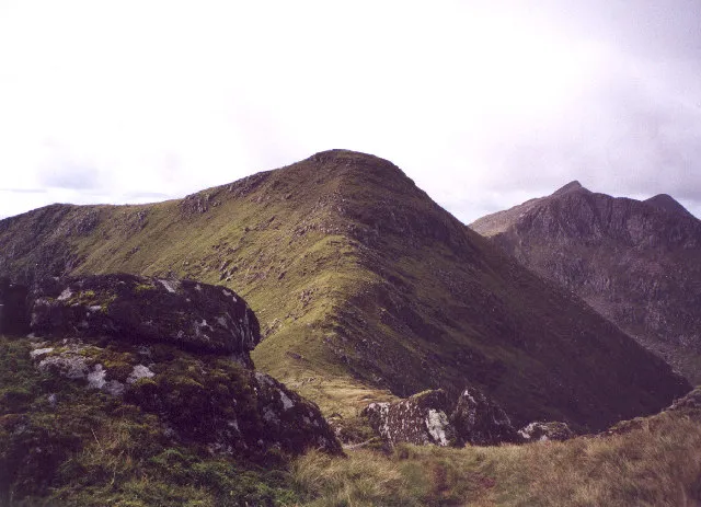 Stob Diamh Mountain, Argyll and Bute2.5 km E
-
Drochaid Ghlas Mountain, Argyll and Bute1.4 km E
-
Meall nan Each Mountain, Argyll and Bute1.5 km NW
-
Glen Noe Natural site, Argyll and Bute2.6 km N
-
Stob Garbh Mountain, Argyll and Bute2.6 km E
-
Meall Copagach Mountain, Argyll and Bute2.6 km NW
More nature in United Kingdom
-
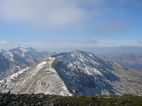 Beinn a' Chochuill Mountain, Argyll and Bute4.7 km NE
-
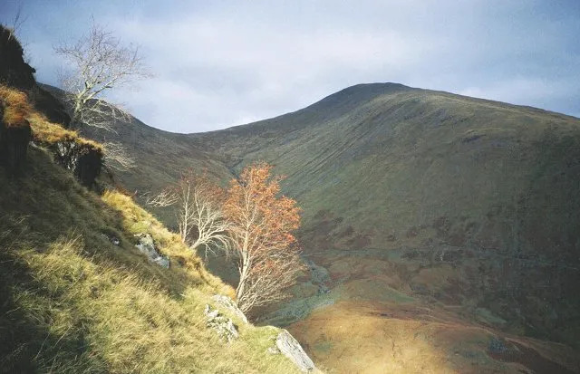 Beinn Eunaich Mountain, Argyll and Bute7 km E
-
 Glen Nant Natural site, Argyll and Bute6 km SW
-
Sron an Isean Mountain, Argyll and Bute3.1 km E
-
Beinn a' Bhuiridh Mountain, Argyll and Bute3.2 km SE
-
Creag an Aonaich Mountain, Argyll and Bute3.5 km SW
Sources & licences
Data last updated: · 2 independent sources