Ben Vorlich
Located in Argyll and Bute, Scotland Coordinates: 56°16′26″ N 4°45′18″ W
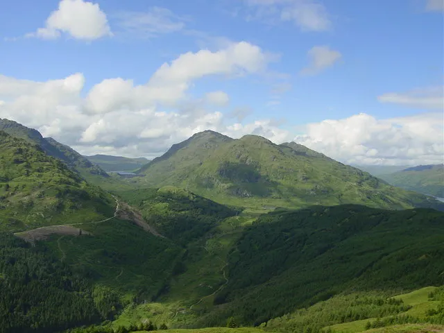
- Elevation
- 943 m
- above sea level
- Local time
- UTC+00:00
- Europe/London · UTC+00:00
About Ben Vorlich
Ben Vorlich is a mountain. Location: Argyll and Bute, Scotland. Elevation: 943 m.
Ben Vorlich (Scottish Gaelic: Beinn Mhùrlaig) is a mountain in the Arrochar Alps of Argyll, in the Southern Highlands of Scotland. It reaches 943 metres (3,094 ft), making it a Munro. It lies between Loch Lomond and Loch Sloy. Ben Vorlich is the highest point of the historic county of Dunbartonshire. The A82 road and the West Highland railway line run on the eastern side of Ben Vorlich, above the shoreline of Loch Lomond.
Read more on Wikipedia Text: Wikipedia contributors · CC BY-SA 4.0 · shortened
At a glance
- Topographic prominence
- 632 m
Source: Wikidata
In comparison
- No. 479 of 18223 mountains in United Kingdom by elevation
- 83 sights and natural places within 10 km Ben Vorlich North Top, Loch Sloy
Nearest towns and villages
-
Ardlui Village, Argyll and Bute3.8 km NE
-
Inveruglas Village, Argyll and Bute3.8 km SE
-
Inversnaid Village, Stirling5.5 km SE
-
Inverarnan Village, Stirling6.4 km N
-
Succoth Village, Argyll and Bute7.2 km S
-
Tarbet Village, Argyll and Bute8.6 km S
Nearby attractions & nature
Everything nearby-
Ben Vorlich North Top Mountain, Argyll and Bute0.5 km N
-
Little Hills East Mountain, Argyll and Bute1.3 km E
-
Loch Sloy Lake, Argyll and Bute1.3 km SW
-
Ben Vorlich South Top Mountain, Argyll and Bute1.7 km SE
-
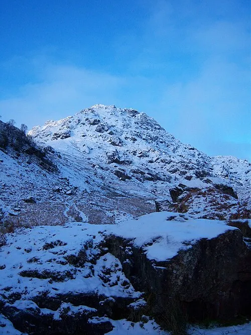 Ben Vane Mountain, Argyll and Bute3.2 km SW
-
Stob nan Coinnich Bhacain Mountain, Argyll and Bute2.2 km N
-
Beinn Dubh Mountain, Argyll and Bute2.3 km SW
-
Ben Vane Far North Top Mountain, Argyll and Bute2.6 km SW
More nature in United Kingdom
-
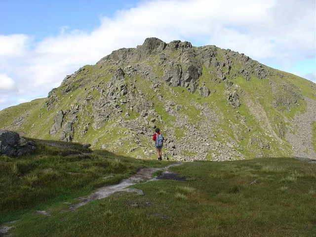 Beinn Narnain Mountain, Argyll and Bute6.3 km S
-
Stob an Fhithich Mountain, Argyll and Bute3.5 km N
-
Dubh Chnoc Mountain, Argyll and Bute4 km S
-
Stoban Dubha Mountain, Argyll and Bute4.3 km W
-
Glen Loin Natural site, Argyll and Bute6.5 km S
-
Garabal Hill Mountain, Argyll and Bute4.6 km N
Sources & licences
Data last updated: · 2 independent sources