Island Macaskin
Located in Argyll and Bute, Scotland Coordinates: 56°08′11″ N 5°33′46″ W
- Elevation
- 39 m
- above sea level
- Local time
- UTC+00:00
- Europe/London · UTC+00:00
About Island Macaskin
Island Macaskin is an island. Location: Argyll and Bute, Scotland.
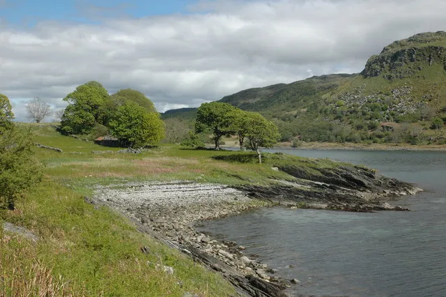
Island Macaskin or MacAskin (Scottish Gaelic: Eilean MhicAsgain) is an island in Loch Craignish, in the Inner Hebrides of Scotland. It is owned by the Jenkin family and has been since 1904.
Read more on Wikipedia Text: Wikipedia contributors · CC BY-SA 4.0 · shortened
In comparison
- 121 sights and natural places within 10 km Eilean nan Gabhar, Creag a' Bhanan
Nearest towns and villages
-
Aird Village, Argyll and Bute2.4 km NW
-
Poltalloch Village, Argyll and Bute4 km SE
-
Slockavullin Village, Argyll and Bute4.1 km SE
-
Kilmartin Village, Argyll and Bute4.8 km E
-
Ardfern Village, Argyll and Bute5.2 km N
-
Crinan Village, Argyll and Bute5.4 km S
Nearby attractions & nature
Everything nearby-
Creag a' Bhanan Mountain, Argyll and Bute1 km E
-
Creagan nam Buachaillean Mountain, Argyll and Bute1.2 km SE
-
Eilean nan Gabhar Island, Argyll and Bute0.9 km N
-
Creag an Duin Mountain, Argyll and Bute1.5 km E
-
Benan Ardifuir Mountain, Argyll and Bute1.8 km S
-
Cnoc Loch Michean Mountain, Argyll and Bute1.9 km SE
-
Liath-sgeir Bheag Island, Argyll and Bute1.5 km SW
-
Loch Craignish Natural site, Argyll and Bute1.5 km N
Sources & licences
Data last updated: · 2 independent sources