Knockrome
Located in Argyll and Bute, Scotland Coordinates: 55°52′38″ N 5°54′40″ W
- Elevation
- 26 m
- above sea level
- Local time
- UTC+00:00
- Europe/London · UTC+00:00
About Knockrome
Knockrome is a village. Location: Argyll and Bute, Scotland. Elevation: 26 m.
Knockrome is a hamlet on the island of Jura, in the civil parish of Jura, in the council area of Argyll and Bute, Scotland. On the 1982 OS 1:10000 map, there were 20 buildings. Knockrome is located about 3.5 miles from Craighouse, on lower lying ground between Knockrome Hill and Cnocan Soilleir. Knockrome is located on the southeast coast of Jura. It is north of Jura Airfield and a prehistoric standing stone.
Read more on Wikipedia Text: Wikipedia contributors · CC BY-SA 4.0 · shortened
In comparison
- Nearest larger town: Isle of Jura, 3 km NW
- 55 sights and natural places within 10 km Cnocan Soilleir, Lowlandman's Bay
Nearby attractions & nature
Everything nearby-
Cnocan Soilleir Mountain, Argyll and Bute0.8 km E
-
Lowlandman's Bay Natural site, Scotland1 km NE
-
A' Mhalairt Mountain, Argyll and Bute2.2 km NE
-
Eilean Bhride Island, Argyll and Bute2 km S
-
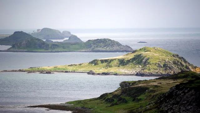 Small Isles Island, Scotland3 km S
-
Pladda Island, Argyll and Bute3.3 km S
Sources & licences
Data last updated: · 2 independent sources