Lismore Lighthouse
Located in Argyll and Bute, Scotland Coordinates: 56°27′20″ N 5°36′26″ W
- Local time
- UTC+00:00
- Europe/London · UTC+00:00
About Lismore Lighthouse
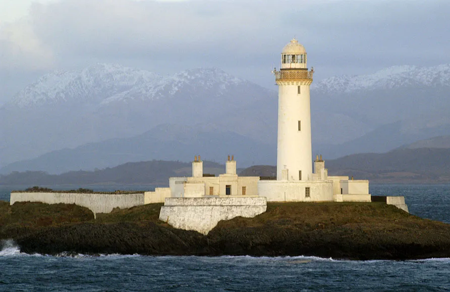
Lismore Lighthouse is a landmark. Location: Argyll and Bute, Scotland.
Eilean Musdile (Mansedale) is an islet, and lighthouse to the south west of Lismore in the Inner Hebrides. The island lies in the entrance to Loch Linnhe, separated from Lismore by a sound ¼ miles across. It is a low-lying rock, ten acres (4.0 hectares) in size, with some grass on it. CalMac ferries pass close to the island on their way from Oban to Mull. The lighthouse was built by Robert Stevenson in 1833 at a cost of £4260 and initially showed a fixed white light.
Read more on Wikipedia Text: Wikipedia contributors · CC BY-SA 4.0 · shortened
At a glance
- Built
- 1833
- Heritage designation
- category A listed building
- Height
- 26 m
Source: Wikidata
In comparison
- 78 sights and natural places within 10 km Sgeir nan Gael, Eilean Musdile
Nearby attractions & nature
Everything nearby-
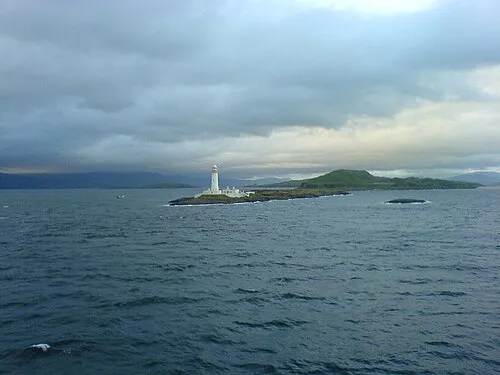 Eilean Musdile Island, Argyll and Bute0.3 km NE
-
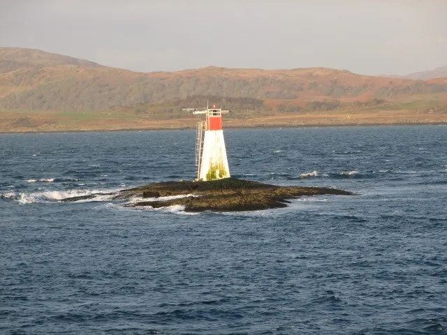 Lady's Rock Lighthouse Landmark, Argyll and Bute1 km SW
-
Sgeir nan Gael Island, Argyll and Bute0.2 km SE
-
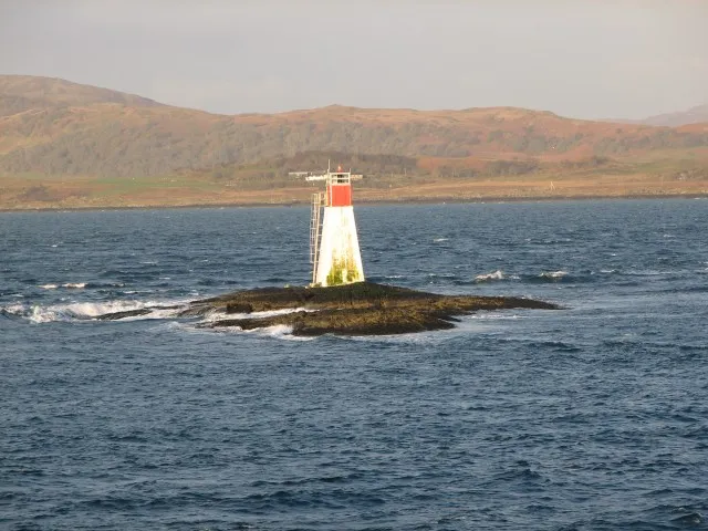 Lady’s Rock Island, Argyll and Bute1 km SW
-
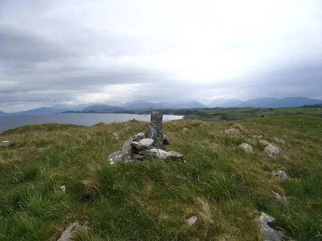 Bernera Island Island, Argyll and Bute4.5 km N
-
Duart Bay Natural site, Argyll and Bute3.7 km W
-
Achadun Castle Historic site, Argyll and Bute4.9 km NE
-
Loch Fiart Lake, Argyll and Bute3.9 km NE
Nearest towns and villages
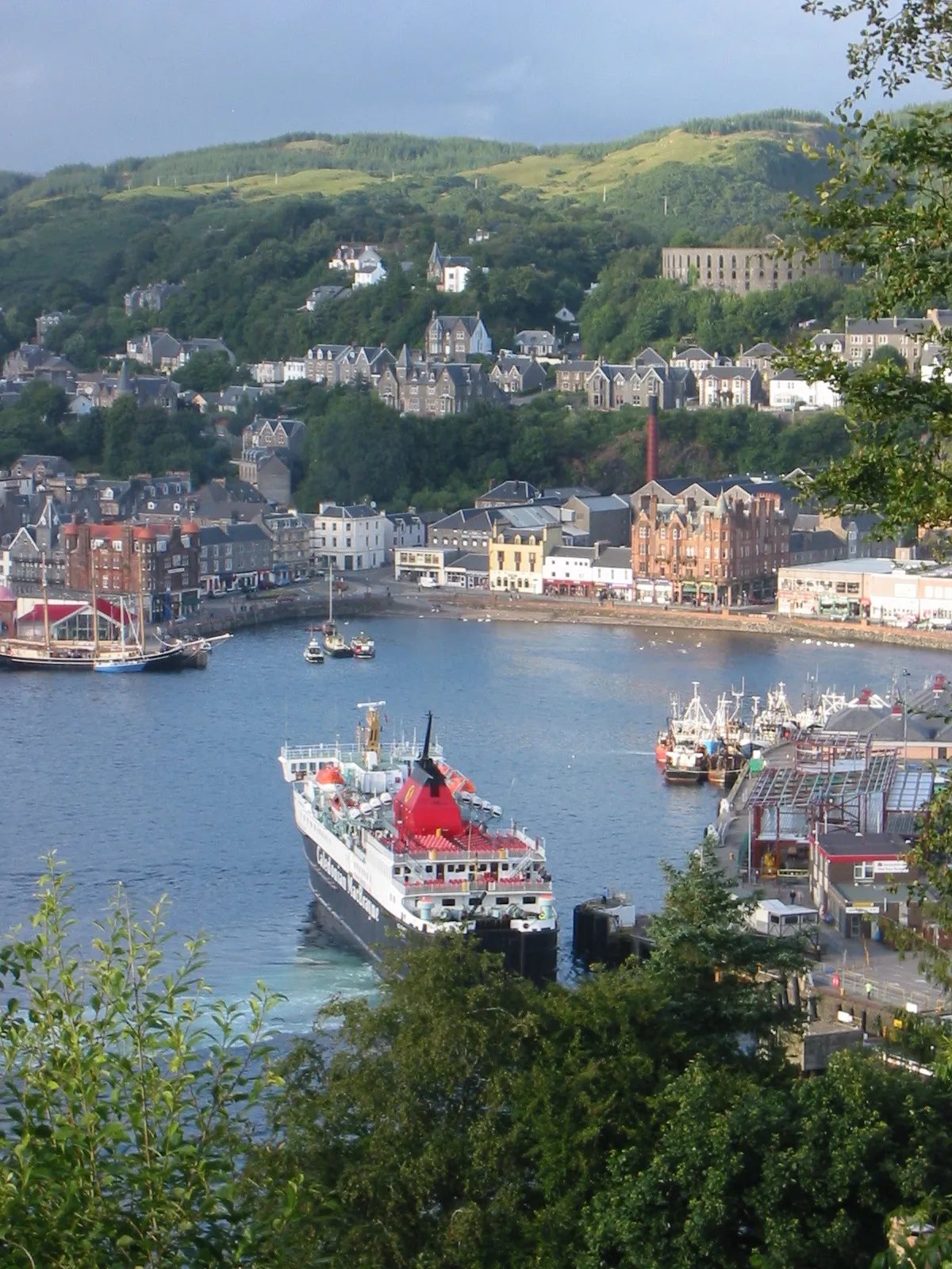
More sights in Argyll and Bute
-
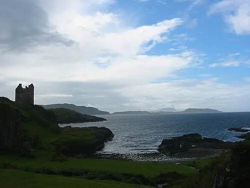 Gylen Castle Historic site, Argyll and Bute9 km S
-
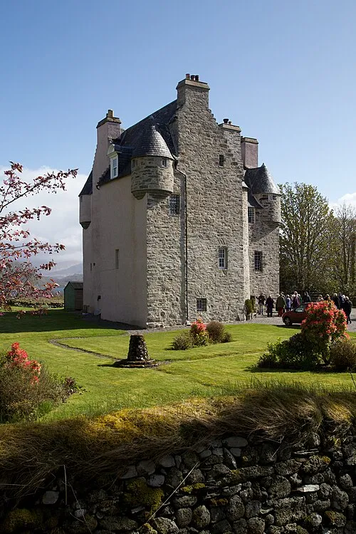 Barcaldine Castle Historic site, Argyll and Bute14 km NE
-
Dùn Bachlach Historic site, Argyll and Bute9.8 km NE
-
Tirefour Castle Historic site, Argyll and Bute12 km NE
-
Dun Fadaidh Historic site, Argyll and Bute22 km S
-
Aros Castle Historic site, Argyll and Bute24 km W
Sources & licences
Data last updated: · 2 independent sources