Lussa River
Located in Argyll and Bute, Scotland Coordinates: 56°23′14″ N 5°44′02″ W
- Local time
- UTC+00:00
- Europe/London · UTC+00:00
About Lussa River
Lussa River is a river. Location: Argyll and Bute, Scotland.
In comparison
- 42 sights and natural places within 10 km Cruach Ardura, Eilean Amalaig
Nearest towns and villages
-
Croggan Village, Argyll and Bute1.2 km SE
-
Strathcoil Village, Argyll and Bute3.1 km NW
-
Isle of Mull Village, Argyll and Bute7.1 km N
-
Auchnacraig Village, Argyll and Bute4.4 km E
-
Lochdon Village, Argyll and Bute6 km NE
-
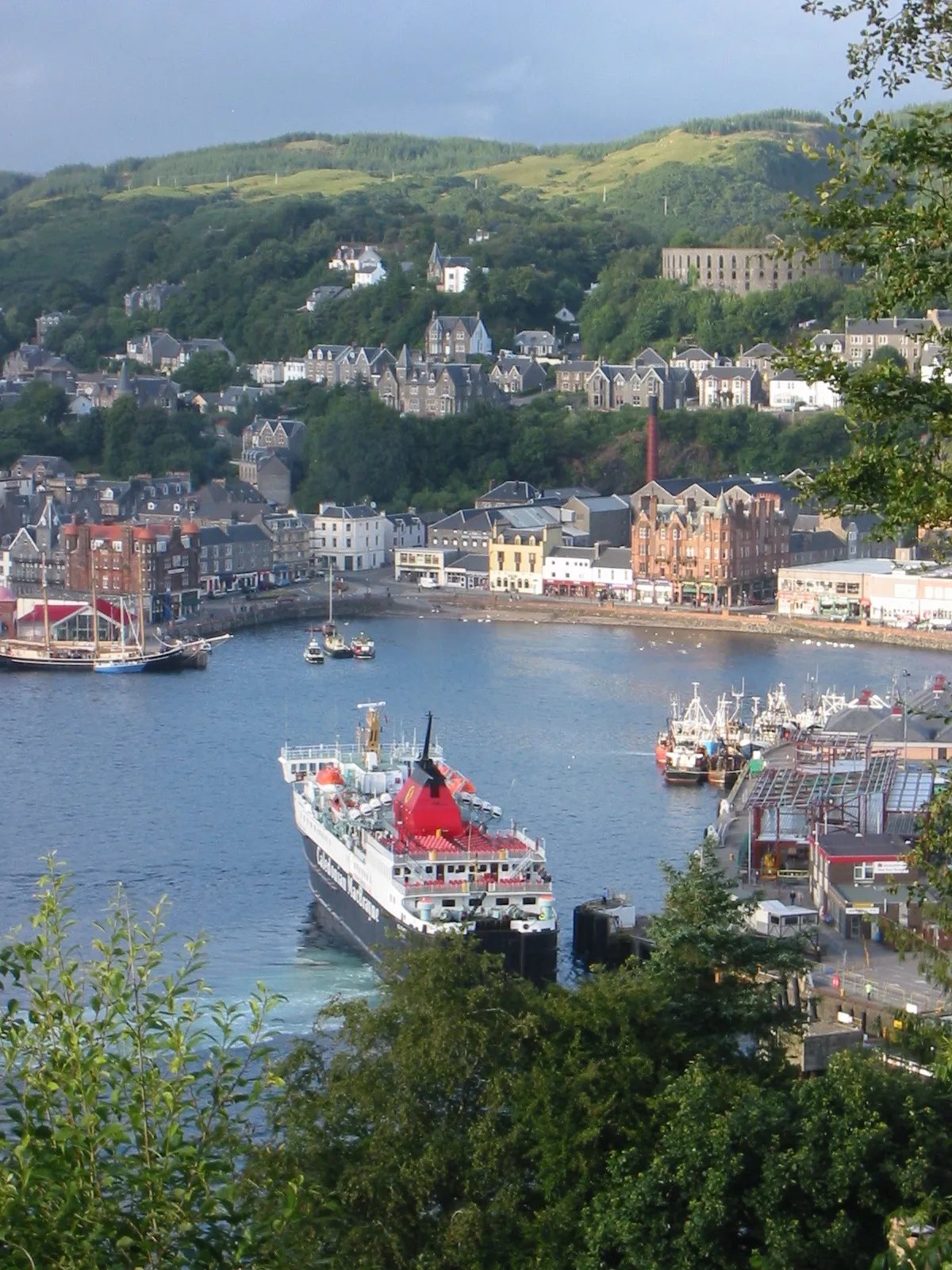 Oban Town, Argyll and Bute16 km E
Nearby attractions & nature
Everything nearby-
Cruach Ardura Mountain, Argyll and Bute1.8 km NW
-
Eilean Amalaig Island, Argyll and Bute2.3 km NE
-
Cruach na h-Airighe Mountain, Argyll and Bute2.5 km S
-
Carn Ban Mountain, Argyll and Bute2.7 km NE
-
Loch Spelve Natural site, Argyll and Bute3.1 km SW
-
Glas Bheinn Mountain, Argyll and Bute3.9 km W
-
Maol Ban Mountain, Argyll and Bute4.2 km S
-
Port Donain Natural site, Argyll and Bute4.4 km E
More lakes, rivers and coasts in United Kingdom
-
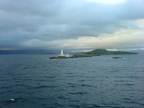 Eilean Musdile Island, Argyll and Bute11 km NE
-
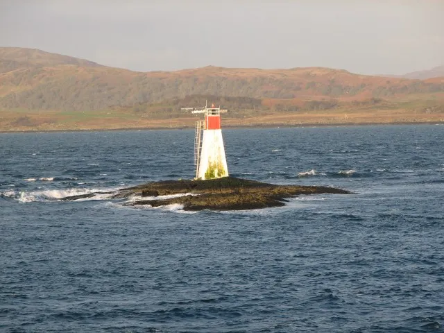 Lady’s Rock Island, Argyll and Bute9.9 km NE
-
Bach Island Island, Argyll and Bute8.3 km E
-
Eilean nan Caorach Island, Argyll and Bute6.5 km NE
-
Loch Uisg Lake, Argyll and Bute6.6 km SW
-
Eilean a' Mhadaidh Island, Argyll and Bute6.9 km NE
Sources & licences
Data last updated: