Back Burn
Located in Scotland, United Kingdom Coordinates: 55°22′00″ N 2°54′00″ W
- Elevation
- 233 m
- above sea level
- Local time
- UTC+00:00
- Europe/London · UTC+00:00
About Back Burn
Back Burn is a river. Location: Scotland, United Kingdom.
In comparison
- 68 sights and natural places within 10 km Teindside Hill, Swanstead Hill
Nearest towns and villages
-
Newmill Village, The Scottish Borders3.2 km NE
-
Teviothead Village, The Scottish Borders4 km SW
-
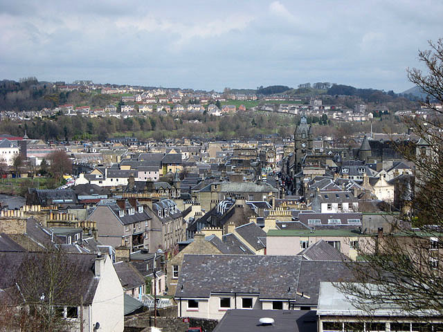 Hawick Town, The Scottish Borders9.5 km NE
-
Branxholme Village, The Scottish Borders4.8 km NE
-
Roberton Village, The Scottish Borders5.6 km N
-
Priesthaugh Village, The Scottish Borders5.6 km SE
Nearby attractions & nature
Everything nearby-
Teindside Hill Mountain, The Scottish Borders0.5 km NE
-
Swanstead Hill Mountain, The Scottish Borders1.7 km NW
-
Branxholme Wester Loch Lake, Scotland2.1 km NW
-
Inner Hill Mountain, The Scottish Borders2.1 km SE
-
Allan Water River, Scotland2.8 km NE
-
Staney Hill Mountain, The Scottish Borders2.8 km SE
-
Southdean Rig Mountain, The Scottish Borders2.9 km S
-
High Seat Mountain, The Scottish Borders2.9 km W
Sources & licences
Data last updated: