Tillicoultry
Local name: Tulach Cultraidh
Located in Clackmannanshire, Scotland Coordinates: 56°09′09″ N 3°44′25″ W
- Population
- 5,160
- 5.2K
- Elevation
- 21 m
- above sea level
- Local time
- UTC+00:00
- Europe/London · UTC+00:00
About Tillicoultry
Tillicoultry is a town. Location: Clackmannanshire, Scotland. Population: 5,160. Elevation: 21 m.
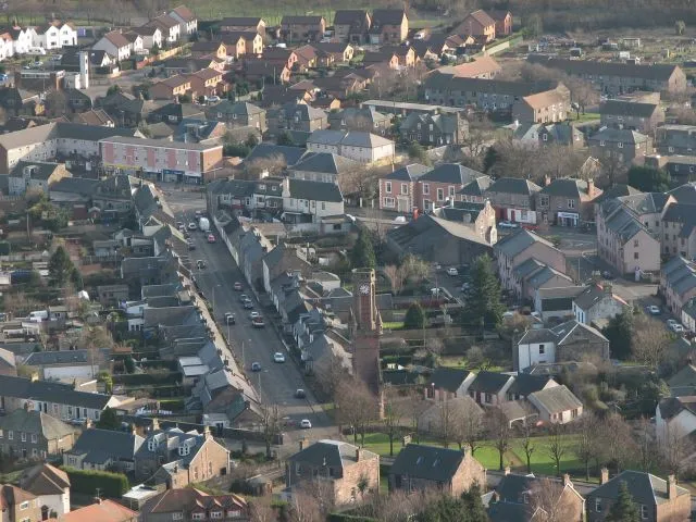
Tillicoultry ( TIL-ee-KOO-tree; Scottish Gaelic: Tulach Cultraidh, perhaps from older Gaelic Tullich-cul-tir, or "the mount/hill at the back of the country") is a town in Clackmannanshire, Scotland. Tillicoultry is usually referred to as Tilly by the locals. One of the Hillfoots Villages on the A91, which runs from Stirling to St. Andrews, Tillicoultry is situated at the southern base of the Ochil Hills, which provide a spectacular backdrop. The River Devon lies to the south.
Read more on Wikipedia Text: Wikipedia contributors · CC BY-SA 4.0 · shortened
In comparison
- No. 4 of 10 places in Clackmannanshire by population
- Nearest larger town: Sauchie, 3 km SW
- 49 sights and natural places within 10 km Gartmorn Hill, Elistoun Hill
Airports nearest to Tillicoultry
- Edinburgh Airport (EDI) Ingliston, Edinburgh 32 km
- Glasgow Airport (GLA) Glasgow 53 km
- Dundee Airport (DND) Dundee 55 km
Straight-line distance; airports with scheduled flights only. Source: OurAirports (public domain).
Nearby attractions & nature
Everything nearby-
The Nebit Mountain, Clackmannanshire3.6 km NW
-
Gartmorn Hill Mountain, Clackmannanshire2.1 km S
-
Ben Ever Mountain, Clackmannanshire4.1 km NW
-
Elistoun Hill Mountain, Clackmannanshire2.3 km N
-
Gartmorn Dam Lake, Clackmannanshire4 km S
-
Craighorn Mountain, Clackmannanshire4.9 km NW
-
Craig Leith Mountain, Clackmannanshire5.1 km W
-
Ben Buck Mountain, Clackmannanshire5.1 km NW
Sources & licences
Data last updated: · 2 independent sources