Connel Burn
Located in Scotland, United Kingdom Coordinates: 55°24′00″ N 4°12′00″ W
- Elevation
- 185 m
- above sea level
- Local time
- UTC+00:00
- Europe/London · UTC+00:00
About Connel Burn
Connel Burn is a river. Location: Scotland, United Kingdom.
In comparison
- 31 sights and natural places within 10 km Afton Water, Avisyard Hill
Nearest towns and villages
-
New Cumnock Village, East Ayrshire1.1 km SE
-
Pathhead Village, East Ayrshire1.2 km NE
-
Mansfield Village, East Ayrshire1.3 km E
-
Afton Bridgend Neighbourhood, East Ayrshire1.4 km SE
-
Bankglen Village, East Ayrshire1.8 km SW
-
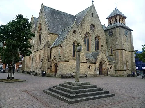 Cumnock Town, East Ayrshire7.4 km NW
Nearby attractions & nature
Everything nearby-
Afton Water River, Scotland2.1 km SE
-
Glen Afton Natural site, Scotland6 km S
-
Beoch Lane River, Scotland5.6 km W
-
Avisyard Hill Mountain, East Ayrshire4.2 km N
-
Lochbrowan Hill Mountain, East Ayrshire4.3 km SE
-
Craigdullyeart Hill Mountain, East Ayrshire5.5 km NE
-
The Knipe Mountain, East Ayrshire5.6 km SE
-
Carsgailoch Hill Mountain, East Ayrshire5.9 km W
Sources & licences
Data last updated: