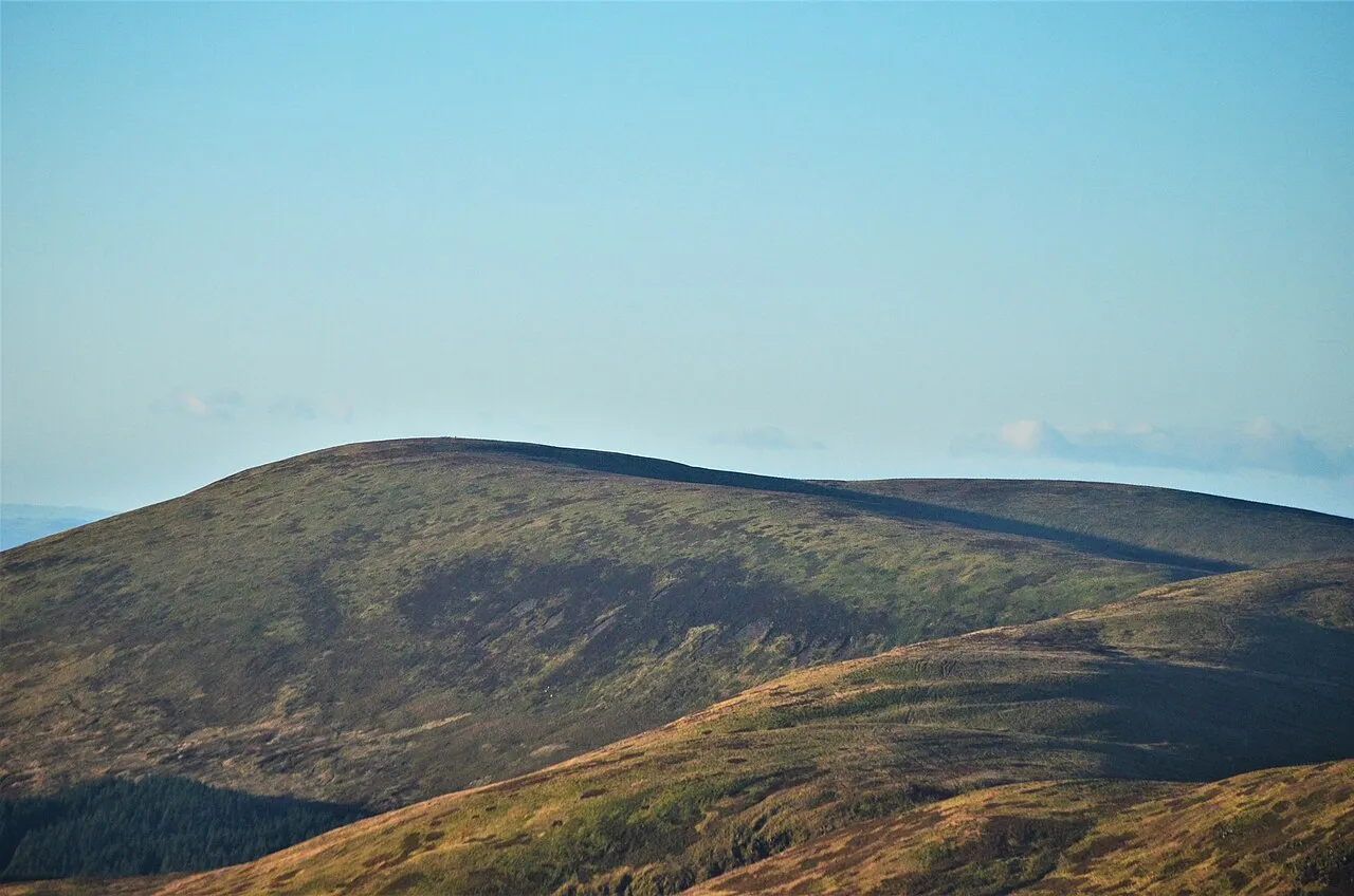
- Elevation
- 688 m
- above sea level
- Local time
- UTC+00:00
- Europe/London · UTC+00:00
- Airports
- EDI Edinburgh Airport69 km
- PIK Glasgow Prestwick Airport83 km
About Loch Fell
Loch Fell is a mountain. Location: Dumfries and Galloway, Scotland. Elevation: 688 m.
Loch Fell is a hill in the Ettrick Hills range, part of the Southern Uplands of Scotland. Close to the Southern Upland Way, routes of ascent frequently incorporate its track and it is almost always climbed along with the neighbouring hills.
Source: Wikipedia · CC BY-SA 4.0
At a glance
- Topographic prominence
- 124 m
Source: Wikidata
Photos of Loch Fell
-
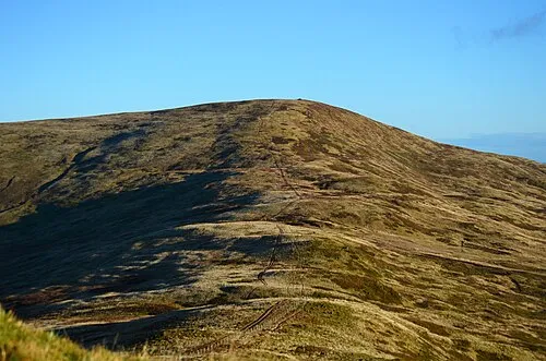
Ettrick Pen Iangpark · CC BY-SA 4.0

Climate of Loch Fell
This month · November
A wet month
Day 5° · Night -1° · Rain 164 mm
- Hottest month
- July (day 15°)
- Coldest month
- January (night -3°)
- Wettest month
- December (180 mm)
- Driest month
- May (86 mm)
Bars: average monthly low and high temperature. Below: precipitation. Monthly averages for 1970–2000 at about 18 km resolution, adjusted for elevation. Highlighted months are mild and relatively dry. Source: WorldClim 2.1 (CC BY 4.0).
Show values as a table
| Month | Jan | Feb | Mar | Apr | May | Jun | Jul | Aug | Sep | Oct | Nov | Dec |
|---|---|---|---|---|---|---|---|---|---|---|---|---|
| Average high (°C) | 2° | 3° | 5° | 7° | 11° | 13° | 15° | 15° | 12° | 9° | 5° | 3° |
| Average low (°C) | -3° | -3° | -2° | -1° | 2° | 5° | 6° | 6° | 4° | 2° | -1° | -3° |
| Precipitation (mm) | 177 | 131 | 142 | 88 | 86 | 90 | 99 | 115 | 135 | 166 | 164 | 180 |
How to get to Loch Fell
The nearest airport is Edinburgh Airport (EDI), 69 km to the north as the crow flies. The nearest large city is Edinburgh, 70 km to the north.
Airports
- Edinburgh Airport (EDI) Ingliston, Edinburgh 69 kmnorth
- Glasgow Prestwick Airport (PIK) Prestwick, South Ayrshire 83 kmwest
- Glasgow Airport (GLA) Glasgow 93 kmnorthwest
Nearby large cities
- Edinburgh Population: 515K 70 kmnorth
- Glasgow Population: 626.4K 84 kmnorthwest
- Newcastle upon Tyne Population: 300.1K 115 kmeast
- Dundee Population: 148.2K 129 kmnorth
- Sunderland Population: 170.1K 132 kmeast
Straight-line distances; road distances are longer. Airport data: OurAirports.
Day trips from Loch Fell
Within 100 km: 625 historic and cultural sites, 3,021 natural sites, 754 lakes, rivers and coasts.
0–25 km463 places
- Henderland Island Island 25 kmS
- Talla Reservoir Lake 18 kmN
- Loch Skeen Lake 12 kmN
- Saint Marys Loch Lake 19 kmNE
25–60 km1,359 places
- Powillimount Beach Beach 52 kmS
- Kirkland Scar Island 43 kmS
- Little Corby Island Island 56 kmSE
- Goat Island Island 46 kmSE
60–100 km2,578 places
- St. Bees Beach Seafront Beach 95 kmS
- Ayr Beach Beach 86 kmW
- Troon Beach Beach 89 kmW
- Burntisland Beach Beach 82 kmN
Straight-line distances.
Nearest towns and villages
-
 Moffat Village, Dumfries and Galloway8.4 km W
-
Roundstonefoot Village, Dumfries and Galloway4.8 km NW
-
Davington Village, Dumfries and Galloway7.7 km SE
-
Beattock Village, Dumfries and Galloway9.4 km W
-
Holm Village, Dumfries and Galloway11 km SE
-
Eskdalemuir Village, Dumfries and Galloway11 km SE
Nearby attractions & nature
Everything nearby-
West Knowe Mountain, Dumfries and Galloway0.9 km NW
-
Lamblair Knowe Mountain, Dumfries and Galloway1 km E
-
Wind Fell Mountain, The Scottish Borders1.7 km NE
-
Croft Head Mountain, Dumfries and Galloway2 km NW
-
Capel Fell Mountain, Dumfries and Galloway2.3 km N
-
Ewelairs Hill Mountain, Dumfries and Galloway2.4 km S
-
Broken Back Mountain, Dumfries and Galloway2.6 km NW
-
Hopetoun Craig Mountain, The Scottish Borders2.7 km NE
More nature in United Kingdom
-
Ettrick Pen Mountain, Dumfries and Galloway4.1 km NE
-
Jock's Shoulder Mountain, Dumfries and Galloway2.7 km S
-
Scaw'd Fell Mountain, Dumfries and Galloway2.8 km SW
-
Blaeberry Hill Mountain, Dumfries and Galloway3 km E
-
Sailfoot Law Mountain, Dumfries and Galloway3.1 km NW
-
Pot Hill Mountain, Dumfries and Galloway3.5 km S
Sources & licences
Data last updated: · 2 independent sources