Currie
Located in Edinburgh, Scotland Coordinates: 55°53′47″ N 3°18′30″ W

- Population
- 6,500
- 6.5K
- Elevation
- 146 m
- above sea level
- Local time
- UTC+00:00
- Europe/London · UTC+00:00
About Currie
Currie is a town. Location: Edinburgh, Scotland. Population: 6,500. Elevation: 146 m.
Currie is a village and suburb on the outskirts of Edinburgh, Scotland, situated 7 miles (11 kilometres) south west of the city centre. Formerly within the County of Midlothian, it now falls within the jurisdiction of the City of Edinburgh Council. It is situated between Juniper Green to the northeast and Balerno to the southwest. It gives its name to a civil parish. In 2001, the population of Currie was 8,550 and it contained 3,454 houses.
Read more on Wikipedia Text: Wikipedia contributors · CC BY-SA 4.0 · shortened
In comparison
- No. 6 of 11 places in Edinburgh by population
- Nearest larger town: Colinton, 3 km E
- 82 sights and natural places within 10 km Poet's Glen, Warklaw Hill
Nearby attractions & nature
Everything nearby-
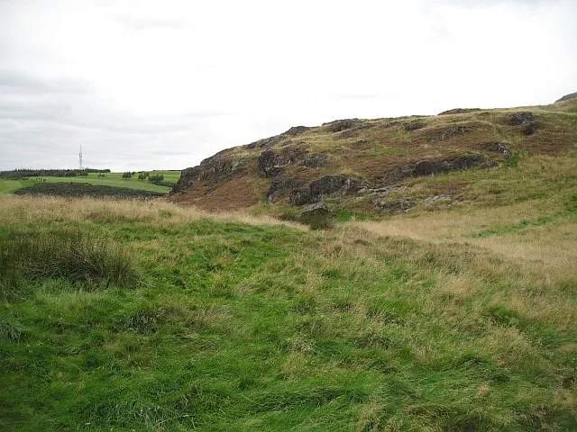 Torduff Hill Mountain, Edinburgh2.5 km E
-
Poet's Glen Natural site, Scotland0.8 km SE
-
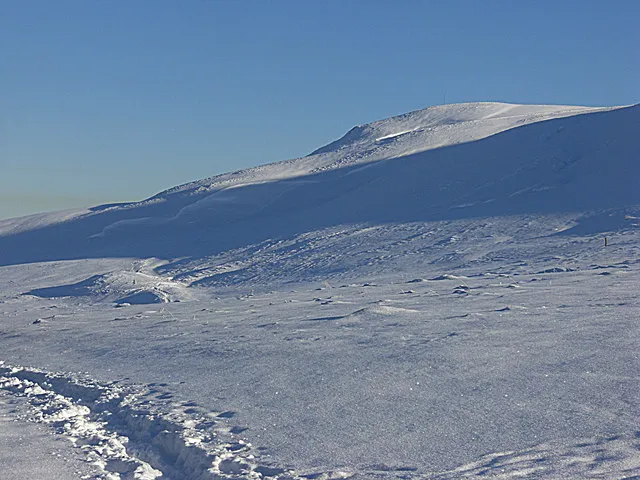 Capelaw Hill Mountain, Edinburgh3.8 km SE
-
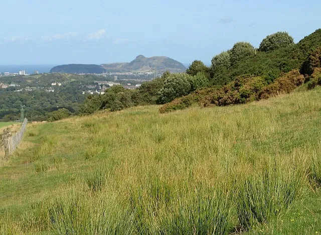 Warklaw Hill Mountain, Edinburgh1.6 km E
-
Dean Burn River, Scotland3.1 km E
-
Bell's Hill Mountain, Midlothian4.1 km SE
-
Fala Knowe Mountain, Midlothian4.9 km SE
-
Clubbiedean Reservoir Lake, Scotland2 km SE
Sources & licences
Data last updated: · 2 independent sources