West Pilton
Located in Edinburgh, Scotland Coordinates: 55°58′00″ N 3°15′00″ W
- Elevation
- 51 m
- above sea level
- Local time
- UTC+00:00
- Europe/London · UTC+00:00
About West Pilton
West Pilton is a neighbourhood. Location: Edinburgh, Scotland.
Pilton is a residential area of northern Edinburgh, Scotland. It is to the north of Ferry Road, immediately east of Muirhouse, and to the west and south of Granton (the Boswall, Royston Mains and Wardieburn neighbourhoods).
Read more on Wikipedia Text: Wikipedia contributors · CC BY-SA 4.0 · shortened
In comparison
- Nearest larger town: Stockbridge, 3 km E
- 71 sights and natural places within 10 km Lauriston Castle, Corstorphine Hill
Airports nearest to West Pilton
- Edinburgh Airport (EDI) Ingliston, Edinburgh 8 km
- Dundee Airport (DND) Dundee 56 km
- Glasgow Airport (GLA) Glasgow 75 km
Straight-line distance; airports with scheduled flights only. Source: OurAirports (public domain).
Nearby attractions & nature
Everything nearby-
 Murrayfield Landmark, Edinburgh2.8 km S
-
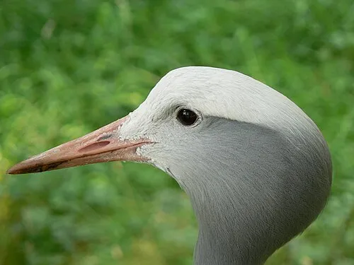 Edinburgh Zoo Attraction, Edinburgh3 km SW
-
 Cramond Island Island, Edinburgh3.9 km NW
-
Lauriston Castle Historic site, Edinburgh1.8 km W
-
 Scott Monument Landmark, Edinburgh3.9 km SE
-
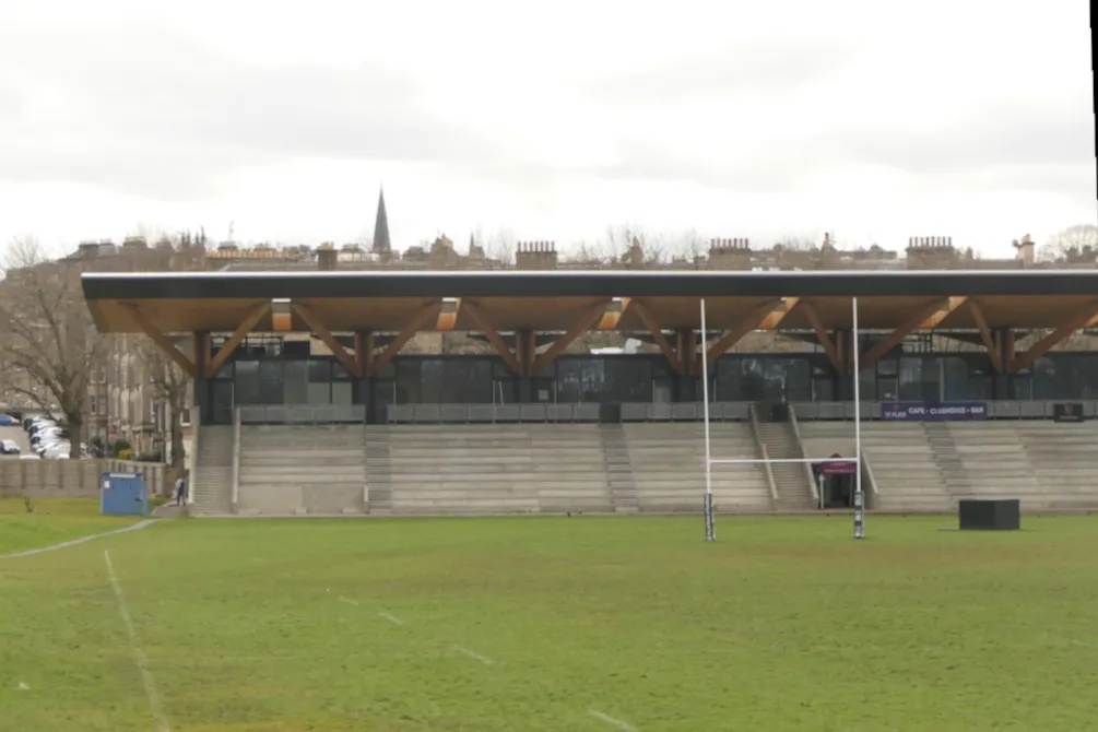 Raeburn Place Landmark, Edinburgh2.2 km E
Sources & licences
Data last updated: · 2 independent sources