Anstruther
Located in Fife, Scotland Coordinates: 56°13′24″ N 2°42′10″ W
- Population
- 3,420
- 3.4K
- Elevation
- 13 m
- above sea level
- Local time
- UTC+00:00
- Europe/London · UTC+00:00
About Anstruther
Anstruther is a village. Location: Fife, Scotland. Population: 3,420. Elevation: 13 m.
Anstruther ( ; Scottish Gaelic: Eanstair), known locally as Ainster or Enster ( ), is a coastal town in Fife, Scotland, situated on the north shore of the Firth of Forth, nine miles (14 km) south-southeast of St Andrews. The town comprises two settlements, Anstruther Easter and Anstruther Wester, which are divided by a stream, the Dreel Burn. With a population of 3,500, it is the largest community in the part of Fife known as the East Neuk. To the east, it merges with the village of Cellardyke.
Read more on Wikipedia Text: Wikipedia contributors · CC BY-SA 4.0 · shortened
In comparison
- No. 21 of 66 places in Fife by population
- Nearest larger town: St Andrews, 14 km NW
- 9 sights and natural places within 10 km Kellie Law, Elie Ness Lighthouse
Nearby attractions & nature
Everything nearby-
Elie Ness Natural site, Fife8.2 km SW
-
Kellie Law Mountain, Fife5.5 km NW
-
Isle of May Island, Fife10 km SE
-
Elie Ness Lighthouse Landmark, Fife8.1 km SW
-
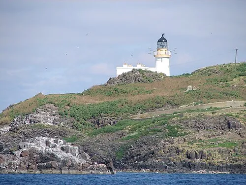 Fidra Island, East Lothian18 km S
-
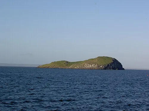 Craigleith Island, East Lothian17 km S
Sources & licences
Data last updated: · 2 independent sources