- Elevation
- 412 m
- above sea level
- Local time
- UTC+00:00
- Europe/London · UTC+00:00
- Airports
- GLA Glasgow Airport98 km
- TRE Tiree Airport110 km
About Am Meall
Am Meall is a mountain. Location: Highland, Scotland. Elevation: 412 m. The nearest airport is Glasgow Airport (98 km). Nearby sights include Loch Leven and Glen Coe.
Photos of Am Meall
-
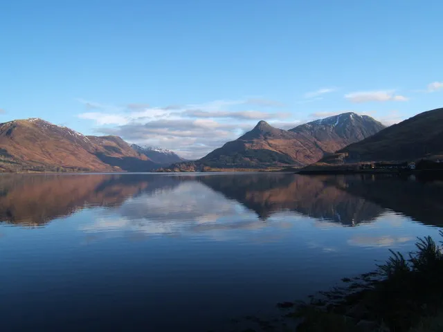
Pap of Glencoe Meg Megson · CC BY-SA 2.0 -
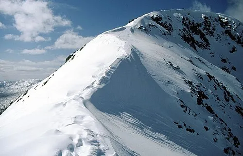
Beinn Fhionnlaidh Russel Wills · CC BY-SA 2.0 -
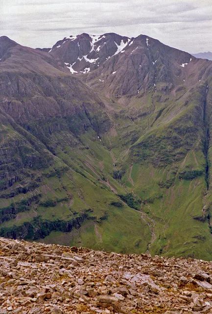
Bidean nam Bian wfmillar · CC BY-SA 2.0 -
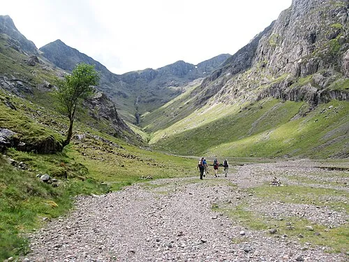
Stob Coire Sgreamhach dave souza · CC BY-SA 4.0 -
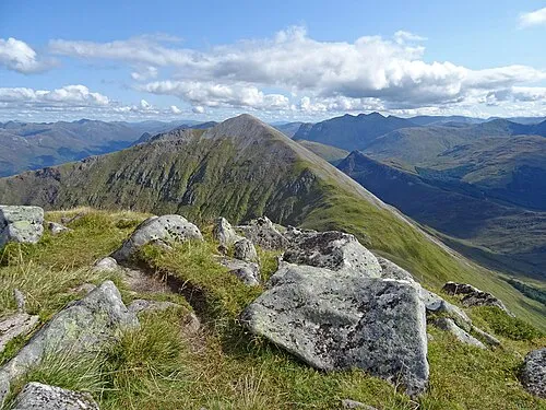
Beinn a' Bheithir - Sgorr Dhearg Adam Ward · CC BY-SA 2.0


Climate of Am Meall
This month · November
A wet month
Day 7° · Night 2° · Rain 266 mm
- Hottest month
- July (day 16°)
- Coldest month
- February (night 0°)
- Wettest month
- January (288 mm)
- Driest month
- May (106 mm)
Bars: average monthly low and high temperature. Below: precipitation. Monthly averages for 1970–2000 at about 18 km resolution, adjusted for elevation. Highlighted months are mild and relatively dry. Source: WorldClim 2.1 (CC BY 4.0).
Show values as a table
| Month | Jan | Feb | Mar | Apr | May | Jun | Jul | Aug | Sep | Oct | Nov | Dec |
|---|---|---|---|---|---|---|---|---|---|---|---|---|
| Average high (°C) | 4° | 5° | 6° | 9° | 12° | 14° | 16° | 15° | 13° | 10° | 7° | 5° |
| Average low (°C) | 0° | 0° | 0° | 2° | 4° | 7° | 9° | 9° | 7° | 5° | 2° | 0° |
| Precipitation (mm) | 288 | 189 | 229 | 120 | 106 | 113 | 133 | 157 | 222 | 248 | 266 | 279 |
How to get to Am Meall
The nearest airport is Glasgow Airport (GLA), 98 km to the southeast as the crow flies. The nearest large city is Glasgow, 104 km to the southeast.
Airports
- Glasgow Airport (GLA) Glasgow 98 kmsoutheast
- Tiree Airport (TRE) Balemartine, Argyll and Bute 110 kmwest
- Inverness Airport (INV) Inverness, Highland 117 kmnortheast
Nearby large cities
- Glasgow Population: 626.4K 104 kmsoutheast
- Dundee Population: 148.2K 133 kmeast
- Edinburgh Population: 515K 143 kmsoutheast
- Aberdeen Population: 198.6K 191 kmeast
- Belfast Population: 348K 237 kmsouth
Straight-line distances; road distances are longer. Airport data: OurAirports.
Day trips from Am Meall
Within 100 km: 65 historic and cultural sites, 4,720 natural sites, 1,374 lakes, rivers and coasts.
0–25 km431 places
- Eriska Island 24 kmSW
- Shuna Island Island 19 kmSW
- Eilean nan Caorach Island 22 kmSW
- Eilean nam Meann Island 25 kmSW
25–60 km2,243 places
- Oronsay Island 50 kmW
- Torsa Island Island 56 kmSW
- Shuna Island 59 kmSW
- Eilean Shona Island 48 kmW
60–100 km3,485 places
- Isle of Skye Island 99 kmNW
- Island of Raasay Island 98 kmNW
- Colonsay Island 96 kmSW
- Eigg Island 69 kmW
Straight-line distances.
Nearest towns and villages
-
 Glencoe Village, Highland1.4 km NE
-
 Ballachulish Village, Highland1.8 km W
-
Laroch Village, Highland1.4 km W
-
East Laroch Village, Highland1.4 km W
-
Brecklet Neighbourhood, Highland1.3 km W
-
Invercoe Village, Highland1.6 km NE
Nearby attractions & nature
Everything nearby-
Loch Leven Lake, Highland1.5 km N
-
Glen Coe Natural site, Highland1.8 km E
-
Meall Mor Mountain, Highland1.9 km SE
-
Pap of Glencoe Mountain, Highland3.6 km NE
-
Eilean Munde Island, Highland1.9 km NW
-
Sgorr a' Choise Mountain, Highland2.6 km S
-
Eilean a' Chòmhraidh Island, Scotland1.9 km NW
-
Meall a' Bhuige Mountain, Highland2.9 km S
More nature in United Kingdom
-
Aonach Eagach - Sgorr nam Fiannaidh Mountain, Highland4.7 km E
-
Bidean nam Bian Mountain, Highland5.9 km SE
-
Beinn a' Bheithir - Sgorr Dhearg Mountain, Highland4.2 km SW
-
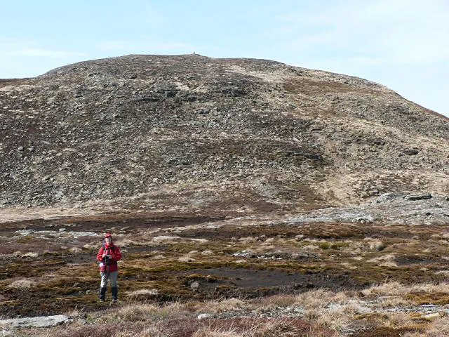 Aonach Eagach - Meall Dearg Mountain, Highland6.7 km E
-
An Torr Mountain, Highland3.2 km E
-
Signal rock Mountain, Highland3.3 km E
Sources & licences
Data last updated: