- Elevation
- 922 m
- above sea level
- Local time
- UTC+00:00
- Europe/London · UTC+00:00
- Airports
- SYY Stornoway Airport84 km
- INV Inverness Airport92 km
About Beinn Alligin - Tom na Gruagaich
Beinn Alligin - Tom na Gruagaich is a mountain. Location: Highland, Scotland. Elevation: 922 m. The nearest airport is Stornoway Airport (84 km). Nearby sights include Beinn Alligin and Sgurr Mor West Top.
At a glance
- Topographic prominence
- 155 m
Source: Wikidata
Photos of Beinn Alligin - Tom na Gruagaich
-
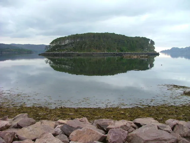
Shieldaig Island Dave Fergusson · CC BY-SA 2.0 -
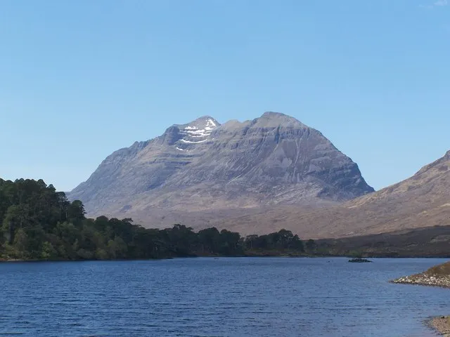
Liathach Roddy Smith · CC BY-SA 2.0 -
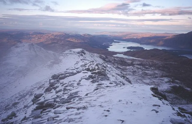
Beinn an Eoin Richard Webb · CC BY-SA 2.0 -
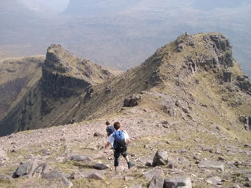
Beinn Dearg Grinner · Public domain -
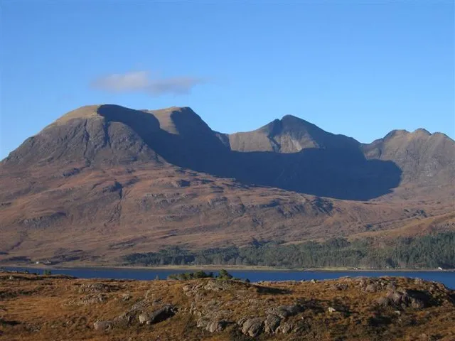
Beinn Alligin David Crocker · CC BY-SA 2.0


Climate of Beinn Alligin - Tom na Gruagaich
This month · November
A wet month
Day 4° · Night -1° · Rain 273 mm
- Hottest month
- July (day 12°)
- Coldest month
- February (night -3°)
- Wettest month
- November (273 mm)
- Driest month
- May (107 mm)
Bars: average monthly low and high temperature. Below: precipitation. Monthly averages for 1970–2000 at about 18 km resolution, adjusted for elevation. Highlighted months are mild and relatively dry. Source: WorldClim 2.1 (CC BY 4.0).
Show values as a table
| Month | Jan | Feb | Mar | Apr | May | Jun | Jul | Aug | Sep | Oct | Nov | Dec |
|---|---|---|---|---|---|---|---|---|---|---|---|---|
| Average high (°C) | 2° | 2° | 3° | 6° | 9° | 11° | 12° | 12° | 10° | 7° | 4° | 2° |
| Average low (°C) | -3° | -3° | -3° | -1° | 1° | 4° | 6° | 6° | 4° | 1° | -1° | -3° |
| Precipitation (mm) | 263 | 176 | 219 | 123 | 107 | 120 | 133 | 151 | 227 | 255 | 273 | 264 |
How to get to Beinn Alligin - Tom na Gruagaich
The nearest airport is Stornoway Airport (SYY), 84 km to the northwest as the crow flies. The nearest large city is Dundee, 201 km to the southeast.
Airports
- Stornoway Airport (SYY) Stornoway, Western Isles 84 kmnorthwest
- Inverness Airport (INV) Inverness, Highland 92 kmeast
- Benbecula Airport (BEB) Balivanich 107 kmwest
Nearby large cities
- Dundee Population: 148.2K 201 kmsoutheast
- Glasgow Population: 626.4K 207 kmsoutheast
- Aberdeen Population: 198.6K 215 kmeast
- Edinburgh Population: 515K 233 kmsoutheast
- Belfast Population: 348K 333 kmsouth
Straight-line distances; road distances are longer. Airport data: OurAirports.
Day trips from Beinn Alligin - Tom na Gruagaich
Within 100 km: 32 historic and cultural sites, 4,019 natural sites, 1,271 lakes, rivers and coasts.
0–25 km448 places
- Eilean Sùbhainn Island 15 kmNE
- Eilean Ruairidh Mòr Island 14 kmN
- Island of Rona Island 24 kmW
- Longa Island Island 23 kmNW
25–60 km1,669 places
- Isle of Skye Island 51 kmSW
- Island of Raasay Island 36 kmSW
- Scalpay Island 41 kmSW
- Eilean a' Char Island 50 kmN
60–100 km3,205 places
- Isle of Harris Natural site 81 kmNW
- Eigg Island 84 kmSW
- The Coral Beaches Beach 64 kmW
- Scalpay Island 72 kmNW
Straight-line distances.
Nearest towns and villages
-
 Inveralligin Village, Highland3.2 km SW
-
Wester Alligin Village, Highland3.5 km SW
-
Upper Diabaig Village, Highland4.4 km W
-
 Diabaig Village, Highland6.3 km W
-
Torridon Village, Highland5.2 km SE
-
Lower Diabaig Village, Highland5.3 km W
Nearby attractions & nature
Everything nearby-
Beinn Alligin Mountain, Highland1.3 km NE
-
Sgurr Mor West Top Mountain, Highland0.9 km N
-
Na Rathanan Mountain, Highland1.8 km NE
-
Beinn Dearg Mountain, Highland3.7 km E
-
Meall na h-Odhar-aghaidh Mountain, Highland2.4 km NW
-
An Ruadh-mheallan Mountain, Highland2.7 km NW
-
Creag a' Chinn Duibh Mountain, Highland2.7 km N
-
Cnoc a' Choire Bhig Mountain, Highland3 km W
More nature in United Kingdom
-
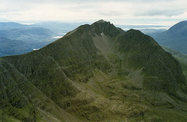 Liathach - Mullach an Rathain Mountain, Highland5.8 km E
-
Beinn an Eoin Mountain, Highland6.4 km NE
-
Stuc Loch na Cabhaig Mountain, Highland3.5 km NE
-
Cnoc Loch Roag Mountain, Highland3.7 km W
-
Beinn Bhreac East Top Mountain, Highland4 km NW
-
Beinn Dearg East Top Mountain, Highland4 km E
Sources & licences
Data last updated: · 2 independent sources