- Elevation
- 711 m
- above sea level
- Local time
- UTC+00:00
- Europe/London · UTC+00:00
- Airports
- INV Inverness Airport65 km
- SYY Stornoway Airport96 km
About Beinn nan Ramh
Beinn nan Ramh is a mountain. Location: Highland, Scotland. Elevation: 711 m. The nearest airport is Inverness Airport (65 km). Nearby sights include Fionn Bheinn and An Sguman.
Photos of Beinn nan Ramh
-
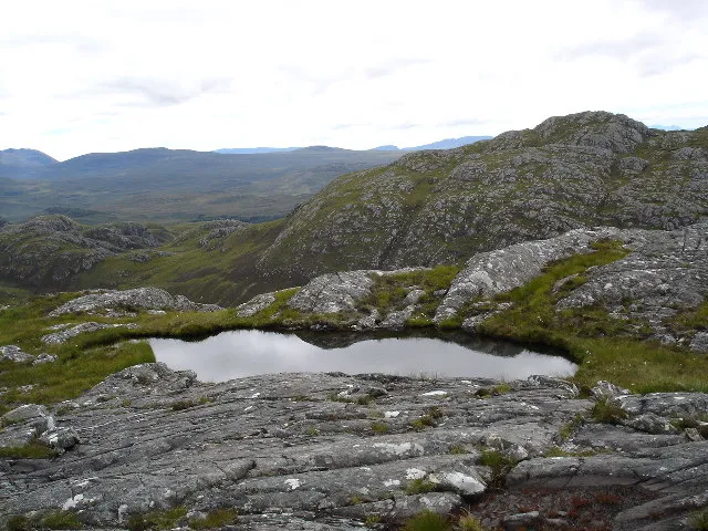
Groban Roger McLachlan · CC BY-SA 2.0 -
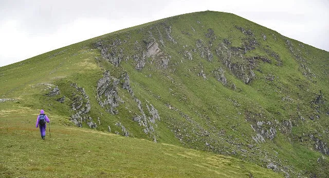
Fionn Bheinn Chris Eilbeck, cropped by Iain99 · CC BY-SA 2.0 -
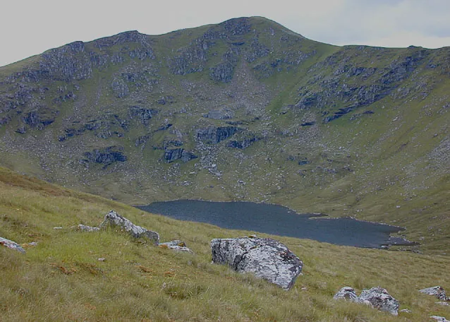
A' Chailleach Nigel Brown · CC BY-SA 2.0 -
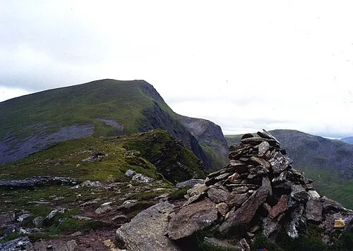
Sgurr nan Clach Geala Mick Knapton at English Wikipedia · CC BY-SA 3.0 -
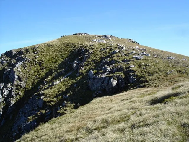
Sgurr Breac Roger McLachlan · CC BY-SA 2.0


Climate of Beinn nan Ramh
This month · November
A wet month
Day 5° · Night -1° · Rain 287 mm
- Hottest month
- July (day 14°)
- Coldest month
- December (night -3°)
- Wettest month
- January (290 mm)
- Driest month
- May (115 mm)
Bars: average monthly low and high temperature. Below: precipitation. Monthly averages for 1970–2000 at about 18 km resolution, adjusted for elevation. Highlighted months are mild and relatively dry. Source: WorldClim 2.1 (CC BY 4.0).
Show values as a table
| Month | Jan | Feb | Mar | Apr | May | Jun | Jul | Aug | Sep | Oct | Nov | Dec |
|---|---|---|---|---|---|---|---|---|---|---|---|---|
| Average high (°C) | 3° | 3° | 4° | 7° | 10° | 12° | 14° | 14° | 12° | 8° | 5° | 3° |
| Average low (°C) | -3° | -3° | -2° | -1° | 2° | 5° | 6° | 6° | 4° | 2° | -1° | -3° |
| Precipitation (mm) | 290 | 200 | 243 | 133 | 115 | 126 | 138 | 162 | 234 | 268 | 287 | 285 |
How to get to Beinn nan Ramh
The nearest airport is Inverness Airport (INV), 65 km to the east as the crow flies. The nearest large city is Dundee, 185 km to the southeast.
Airports
- Inverness Airport (INV) Inverness, Highland 65 kmeast
- Stornoway Airport (SYY) Stornoway, Western Isles 96 kmnorthwest
- Benbecula Airport (BEB) Balivanich 136 kmwest
Nearby large cities
- Dundee Population: 148.2K 185 kmsoutheast
- Aberdeen Population: 198.6K 190 kmeast
- Glasgow Population: 626.4K 205 kmsouth
- Edinburgh Population: 515K 222 kmsoutheast
- Belfast Population: 348K 343 kmsouth
Straight-line distances; road distances are longer. Airport data: OurAirports.
Day trips from Beinn nan Ramh
Within 100 km: 42 historic and cultural sites, 4,073 natural sites, 1,034 lakes, rivers and coasts.
0–25 km458 places
- Eilean Sùbhainn Island 23 kmW
- Eilean Ruairidh Mòr Island 24 kmW
- Garbh Eilean Island 23 kmW
- Sgeirean an Amadain Island 20 kmW
25–60 km1,728 places
- Eilean a' Char Island 46 kmNW
- Moy Island Island 37 kmE
- Eilean Tigh Island 55 kmW
- Tanera More Island 44 kmNW
60–100 km2,963 places
- Isle of Skye Island 78 kmSW
- Island of Raasay Island 64 kmSW
- The Coral Beaches Beach 92 kmW
- Scalpay Island 95 kmW
Straight-line distances.
Nearest towns and villages
-
 Achnasheen Village, Highland8 km S
-
 Kinlochewe Village, Highland12 km SW
-
Incheril Village, Highland11 km SW
-
 Achanalt Village, Highland13 km E
-
Braemore Village, Highland13 km NE
-
Fain Village, Highland13 km N
Nearby attractions & nature
Everything nearby-
Fionn Bheinn Mountain, Highland4.1 km S
-
An Sguman Mountain, Highland2.9 km N
-
An Carnan Mountain, Highland3.4 km W
-
A' Chailleach Mountain, Highland5.3 km N
-
Sgurr Breac Mountain, Highland5.3 km N
-
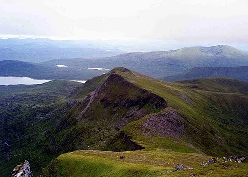 Sgurr nan Each Mountain, Highland5.8 km NE
-
Gleann Tanagaidh Natural site, Highland4.9 km W
-
Ceann Garbh Meallan Chuaich Mountain, Highland4.4 km NW
More nature in United Kingdom
-
Sgurr nan Clach Geala Mountain, Highland6.9 km NE
-
Groban Mountain, Highland6.2 km NW
-
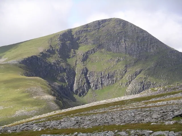 Sgùrr Mòr Mountain, Highland8.6 km NE
-
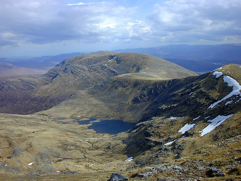 Meall Gorm Mountain, Highland8.9 km NE
-
Sail Mhor Mountain, Highland4.6 km NE
-
Torran Ruadh Mountain, Highland5.1 km E
Sources & licences
Data last updated: