Ben Tee
Located in Highland, Scotland Coordinates: 57°01′56″ N 4°54′03″ W
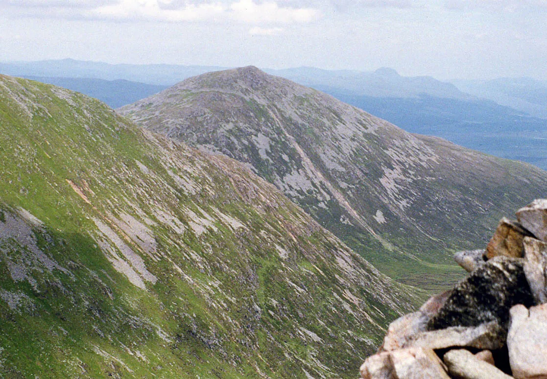
- Elevation
- 904 m
- above sea level
- Local time
- UTC+00:00
- Europe/London · UTC+00:00
About Ben Tee
Ben Tee is a mountain. Location: Highland, Scotland. Elevation: 904 m.
Ben Tee (Scottish Gaelic: Beinn an t-Sìthidh) is a Scottish mountain situated in the Lochaber area of the Highland council area, some 15 kilometres north of Spean Bridge. It is rated as one of the best of Scotland's smaller mountains with Hamish Brown saying: Ben Tee is such a shapely cone that it is instantly recognisable from anywhere around the Great Glen or along the Garry. Its isolated situation makes it one of Scotland’s finest summit viewpoints.
Read more on Wikipedia Text: Wikipedia contributors · CC BY-SA 4.0 · shortened
At a glance
- Topographic prominence
- 356 m
Source: Wikidata
In comparison
- No. 672 of 18223 mountains in United Kingdom by elevation
- 74 sights and natural places within 10 km Beinn Bhreac, Meall nan Dearcag
Nearest towns and villages
-
Greenfield Village, Highland3.6 km NW
-
Invergarry Village, Highland7.3 km NE
-
Kilfinnan Village, Highland3.7 km SE
-
Faichem Village, Highland6.3 km NE
-
Munerigie Village, Highland6.3 km NE
-
Faichemard Farm Village, Highland6.5 km NE
Nearby attractions & nature
Everything nearby-
Beinn Bhreac Mountain, Highland1.9 km N
-
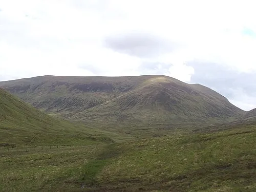 Sron a' Choire Ghairbh Mountain, Highland3.2 km SW
-
Meall nan Dearcag Mountain, Highland2.5 km SE
-
Sean Mheall Mountain, Highland2.6 km S
-
Meall a' Choire Ghlais Mountain, Highland2.6 km SW
-
Meall nan Ruadhag Mountain, Highland2.6 km NE
-
Meall Ard Achaidh Mountain, Highland3 km NW
-
Sron a' Choire Ghairbh East Top Mountain, Highland3.3 km SW
More nature in United Kingdom
-
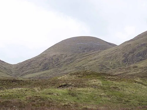 Meall na Teanga Mountain, Highland5.2 km S
-
Bolinn Hill Mountain, Highland4.1 km N
-
Meall Dubh Mountain, Highland4.2 km S
-
Glac Dhubh Mountain, Highland4.3 km NE
-
Gearr Leacann Mountain, Highland4.9 km W
-
Meall an Tagraidh Mountain, Highland5.6 km SW
Sources & licences
Data last updated: · 2 independent sources