- Elevation
- 227 m
- above sea level
- Local time
- UTC+00:00
- Europe/London · UTC+00:00
- Airports
- INV Inverness Airport100 km
- TRE Tiree Airport107 km
About Cnoc Sheumais
Cnoc Sheumais is a mountain. Location: Highland, Scotland. Elevation: 227 m. The nearest airport is Inverness Airport (100 km). Nearby sights include Cnoc Shiomain and Cnoc Chrisdein.
Climate of Cnoc Sheumais
This month · November
A wet month
Day 8° · Night 3° · Rain 308 mm
- Hottest month
- July (day 17°)
- Coldest month
- February (night 1°)
- Wettest month
- January (319 mm)
- Driest month
- May (121 mm)
Bars: average monthly low and high temperature. Below: precipitation. Monthly averages for 1970–2000 at about 18 km resolution, adjusted for elevation. Highlighted months are mild and relatively dry. Source: WorldClim 2.1 (CC BY 4.0).
Show values as a table
| Month | Jan | Feb | Mar | Apr | May | Jun | Jul | Aug | Sep | Oct | Nov | Dec |
|---|---|---|---|---|---|---|---|---|---|---|---|---|
| Average high (°C) | 6° | 6° | 7° | 10° | 14° | 15° | 17° | 17° | 14° | 11° | 8° | 6° |
| Average low (°C) | 1° | 1° | 2° | 3° | 6° | 8° | 10° | 10° | 8° | 6° | 3° | 1° |
| Precipitation (mm) | 319 | 210 | 264 | 141 | 121 | 130 | 149 | 173 | 255 | 287 | 308 | 311 |
How to get to Cnoc Sheumais
The nearest airport is Inverness Airport (INV), 100 km to the northeast as the crow flies. The nearest large city is Glasgow, 149 km to the southeast.
Airports
- Inverness Airport (INV) Inverness, Highland 100 kmnortheast
- Tiree Airport (TRE) Balemartine, Argyll and Bute 107 kmsouthwest
- Barra Airport (BRR) Eoligarry 123 kmwest
Nearby large cities
- Glasgow Population: 626.4K 149 kmsoutheast
- Dundee Population: 148.2K 162 kmeast
- Edinburgh Population: 515K 182 kmsoutheast
- Aberdeen Population: 198.6K 201 kmeast
- Belfast Population: 348K 274 kmsouth
Straight-line distances; road distances are longer. Airport data: OurAirports.
Day trips from Cnoc Sheumais
Within 100 km: 40 historic and cultural sites, 4,446 natural sites, 1,285 lakes, rivers and coasts.
0–25 km516 places
- Sandaig Islands Island 23 kmNW
- Eilean Ràrsaidh Island 16 kmNW
- An t-Eilean Meadhoin Island 24 kmW
- Eilean Tioram Island 14 kmNW
25–60 km1,940 places
- Isle of Skye Island 58 kmNW
- Island of Raasay Island 55 kmNW
- Eigg Island 48 kmW
- Scalpay Island 44 kmNW
60–100 km3,315 places
- Hebrides Island 85 kmW
- The Coral Beaches Beach 90 kmNW
- Scarba Island 97 kmS
- Clett Island 92 kmNW
Straight-line distances.
Nearest towns and villages
-
Sourlies Village, Highland6.8 km SW
-
Barrisdale Village, Highland7.1 km NW
-
Kinloch Hourn Village, Highland8 km N
-
Inverie Village, Highland16 km W
-
Corran Village, Highland12 km NW
-
Glenfinnan Village, Highland19 km S
Nearby attractions & nature
Everything nearby-
Cnoc Shiomain Mountain, Highland0.2 km S
-
Cnoc Chrisdein Mountain, Highland1 km W
-
Sgurr Airigh na Bheinne Mountain, Highland1.6 km NW
-
An t-Sail Mountain, Highland1.7 km SE
-
Meall an Spardain Mountain, Highland1.7 km NE
-
Meall a' Choire Dhuibh Mountain, Highland1.7 km SW
-
Druim Chosaidh Mountain, Highland2 km NW
-
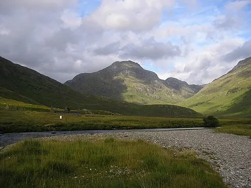 Ben Aden Mountain, Highland3.2 km W
More nature in United Kingdom
-
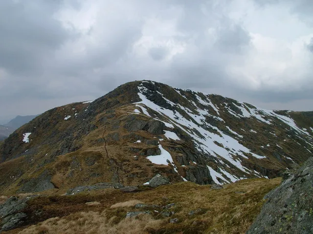 Sgurr nan Coireachean Mountain, Highland3.4 km S
-
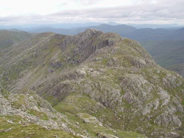 Garbh Chioch Mhor Mountain, Highland3.8 km SW
-
Meall nan Clach Eiteag Mountain, Highland2.2 km SW
-
Beinn an Aodainn East Top Mountain, Highland2.6 km SW
-
Craig Backastain Mountain, Highland3.2 km SW
-
Glen Barrisdale Natural site, Highland5.3 km NW
Sources & licences
Data last updated: