Eriboll
Located in Highland, Scotland Coordinates: 58°28′02″ N 4°41′17″ W
- Elevation
- 74 m
- above sea level
- Local time
- UTC+00:00
- Europe/London · UTC+00:00
About Eriboll
Eriboll is a village. Location: Highland, Scotland. Elevation: 74 m.
Eriboll (Scottish Gaelic: Earabol) is a village in Sutherland, Scotland. The village is situated on the south eastern shore of Loch Eriboll, in the northern part of the former county of Sutherland. The main A838 coast road connects the villages of Tongue, Achuvoldrach, Hope and Eriboll to the east and Portnancon, Sangobeg, Durness and on to Laxford Bridge to the west. Its Norse name means Home on a gravel beach.
Read more on Wikipedia Text: Wikipedia contributors · CC BY-SA 4.0 · shortened
In comparison
- Nearest larger town: Sangobeg, 10 km N
- 46 sights and natural places within 10 km Meall Bad a' Mhuidhe, Meall Bad a' Mhartuin
Airports nearest to Eriboll
- Wick John O'Groats Airport (WIC) Wick 93 km
- Stornoway Airport (SYY) Stornoway, Western Isles 100 km
- Inverness Airport (INV) Inverness, Highland 110 km
Straight-line distance; airports with scheduled flights only. Source: OurAirports (public domain).
Nearby attractions & nature
Everything nearby-
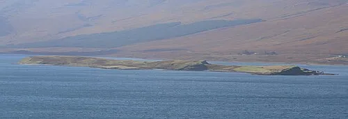 Eilean Choraidh Island, Highland2.1 km NW
-
Meall Bad a' Mhuidhe Mountain, Highland0.9 km SE
-
Meall Bad a' Mhartuin Mountain, Highland0.9 km E
-
Sithean Mor Mountain, Highland1.8 km S
-
Meall Coire nan Each Mountain, Highland2.4 km SW
-
Loch Eriboll Natural site, Highland2.9 km N
Sources & licences
Data last updated: · 2 independent sources