- Elevation
- 58 m
- above sea level
- Local time
- UTC+00:00
- Europe/London · UTC+00:00
- Airports
- TRE Tiree Airport62 km
- BRR Barra Airport81 km
About Galmisdale
Galmisdale is a village. Location: Highland, Scotland. Elevation: 58 m.
Galmisdale is the main port of the island of Eigg, one of the Small Isles of the Inner Hebrides. It is in the Scottish council area of Highland.
Source: Wikipedia · CC BY-SA 4.0
Climate of Galmisdale
This month · November
A wet month
Day 9° · Night 6° · Rain 242 mm
- Hottest month
- August (day 17°)
- Coldest month
- February (night 4°)
- Wettest month
- November (242 mm)
- Driest month
- May (88 mm)
Bars: average monthly low and high temperature. Below: precipitation. Monthly averages for 1970–2000 at about 18 km resolution, adjusted for elevation. Highlighted months are mild and relatively dry. Source: WorldClim 2.1 (CC BY 4.0).
Show values as a table
| Month | Jan | Feb | Mar | Apr | May | Jun | Jul | Aug | Sep | Oct | Nov | Dec |
|---|---|---|---|---|---|---|---|---|---|---|---|---|
| Average high (°C) | 7° | 7° | 8° | 10° | 13° | 15° | 16° | 17° | 15° | 12° | 9° | 8° |
| Average low (°C) | 4° | 4° | 5° | 6° | 8° | 10° | 12° | 12° | 10° | 8° | 6° | 4° |
| Precipitation (mm) | 237 | 145 | 182 | 102 | 88 | 99 | 118 | 139 | 207 | 229 | 242 | 230 |
How to get to Galmisdale
The nearest airport is Tiree Airport (TRE), 62 km to the southwest as the crow flies. The nearest large city is Glasgow, 162 km to the southeast.
Airports
- Tiree Airport (TRE) Balemartine, Argyll and Bute 62 kmsouthwest
- Barra Airport (BRR) Eoligarry 81 kmwest
- Benbecula Airport (BEB) Balivanich 100 kmnorthwest
Nearby large cities
- Glasgow Population: 626.4K 162 kmsoutheast
- Dundee Population: 148.2K 199 kmeast
- Edinburgh Population: 515K 209 kmsoutheast
- Aberdeen Population: 198.6K 247 kmeast
- Belfast Population: 348K 254 kmsouth
Straight-line distances; road distances are longer. Airport data: OurAirports.
Nearby attractions & nature
Everything nearby-
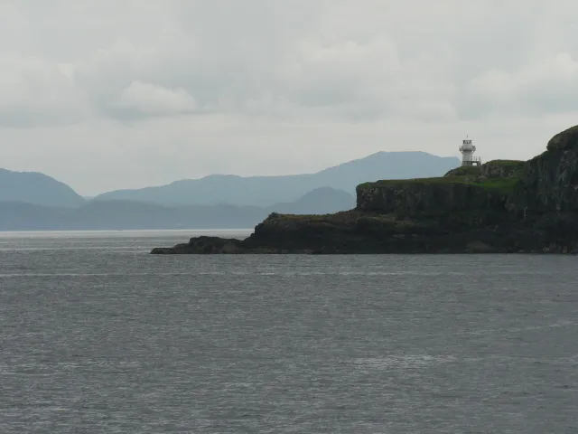 Eigg Island, Highland2.9 km NW
-
Maol an Eilean Island, Highland1.3 km SE
-
Eilean Chathastail Island, Highland1.4 km S
-
An Sgurr Mountain, Highland1.7 km W
-
Cora-bheinn Mountain, Highland2.7 km NW
-
An Corrach Mountain, Highland3.2 km W
Sources & licences
Data last updated: · 2 independent sources