Galtrigill
Located in Highland, Scotland Coordinates: 57°29′00″ N 6°42′00″ W
- Elevation
- 83 m
- above sea level
- Local time
- UTC+00:00
- Europe/London · UTC+00:00
About Galtrigill
Galtrigill is a village. Location: Highland, Scotland. Elevation: 83 m.
Galtrigill (Scottish Gaelic: Galtraigil) is a largely abandoned crofting township on the far north end of the east side of the Duirinish peninsula on the Isle of Skye, and is in the Scottish council area of Highland. The villages of Borreraig, Uig and Totaig are located directly south. The Stone of Manners (Scottish Gaelic: Clach a Mhodha) lies north of Galtrigill, and is the only one known to exist on the Isle of Skye.
Read more on Wikipedia Text: Wikipedia contributors · CC BY-SA 4.0 · shortened
In comparison
- Nearest larger town: Uig, 24 km NE
- 54 sights and natural places within 10 km Ben Ettow, Uig Bay
Airports nearest to Galtrigill
- Benbecula Airport (BEB) Balivanich 40 km
- Barra Airport (BRR) Eoligarry 68 km
- Stornoway Airport (SYY) Stornoway, Western Isles 84 km
Straight-line distance; airports with scheduled flights only. Source: OurAirports (public domain).
Nearby attractions & nature
Everything nearby-
Ben Ettow Mountain, Highland1.3 km SW
-
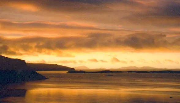 Isay Island, Highland4.8 km NE
-
Ben Skriaig Mountain, Highland2 km W
-
Uig Bay Natural site, Scotland1.7 km SE
-
Leinish Bay Natural site, Highland2.7 km SE
-
Loch Dunvegan Natural site, Highland2.7 km SE
Sources & licences
Data last updated: · 2 independent sources