- Elevation
- 847 m
- above sea level
- Local time
- UTC+00:00
- Europe/London · UTC+00:00
- Airports
- GLA Glasgow Airport97 km
- INV Inverness Airport99 km
About Leum Uilleim South Top
Leum Uilleim South Top is a mountain. Location: Highland, Scotland. Elevation: 847 m. The nearest airport is Glasgow Airport (97 km). Nearby sights include Leum Uilleim and Beinn a' Bhric.
Photos of Leum Uilleim South Top
-
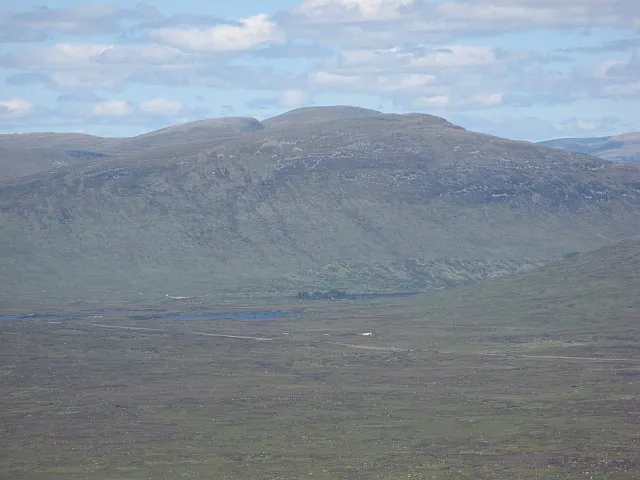
Beinn na Lap Richard Webb · CC BY-SA 2.0

Climate of Leum Uilleim South Top
This month · November
A wet month
Day 4° · Night -1° · Rain 261 mm
- Hottest month
- July (day 13°)
- Coldest month
- February (night -3°)
- Wettest month
- January (296 mm)
- Driest month
- June (113 mm)
Bars: average monthly low and high temperature. Below: precipitation. Monthly averages for 1970–2000 at about 18 km resolution, adjusted for elevation. Highlighted months are mild and relatively dry. Source: WorldClim 2.1 (CC BY 4.0).
Show values as a table
| Month | Jan | Feb | Mar | Apr | May | Jun | Jul | Aug | Sep | Oct | Nov | Dec |
|---|---|---|---|---|---|---|---|---|---|---|---|---|
| Average high (°C) | 1° | 2° | 3° | 6° | 9° | 11° | 13° | 13° | 10° | 7° | 4° | 2° |
| Average low (°C) | -3° | -3° | -3° | -1° | 2° | 4° | 6° | 6° | 4° | 2° | -1° | -3° |
| Precipitation (mm) | 296 | 191 | 223 | 118 | 115 | 113 | 127 | 151 | 215 | 251 | 261 | 272 |
How to get to Leum Uilleim South Top
The nearest airport is Glasgow Airport (GLA), 97 km to the south as the crow flies. The nearest large city is Glasgow, 101 km to the south.
Airports
- Glasgow Airport (GLA) Glasgow 97 kmsouth
- Inverness Airport (INV) Inverness, Highland 99 kmnortheast
- Dundee Airport (DND) Dundee 109 kmeast
Nearby large cities
- Glasgow Population: 626.4K 101 kmsouth
- Dundee Population: 148.2K 112 kmeast
- Edinburgh Population: 515K 128 kmsoutheast
- Aberdeen Population: 198.6K 167 kmeast
- Belfast Population: 348K 249 kmsouth
Straight-line distances; road distances are longer. Airport data: OurAirports.
Day trips from Leum Uilleim South Top
Within 100 km: 85 historic and cultural sites, 4,980 natural sites, 1,280 lakes, rivers and coasts.
0–25 km396 places
- Eilean Molach Island 13 kmS
- Eilean an Tuilaich Island 17 kmN
- Eilean na Fead Island 20 kmN
- Eilean nam Faoileag Island 21 kmE
25–60 km2,075 places
- Eriska Island 47 kmSW
- Shuna Island Island 43 kmW
- Lismore Island Island 58 kmSW
- Inishail Island 46 kmSW
60–100 km3,874 places
- Eigg Island 90 kmW
- Scarba Island 86 kmSW
- Scalpay Island 98 kmNW
- Oronsay Island 74 kmW
Straight-line distances.
Nearest towns and villages
-
Corrour Village, Highland3.9 km NE
-
Lochtreighead Village, Highland5.8 km N
-
 Kinlochleven Village, Highland15 km W
-
Luibeilt Village, Highland8.7 km NW
-
Corrour Shooting Lodge Village, Highland10 km NE
-
Tigh na Cruaiche Village, Perth and Kinross9.8 km SE
Nearby attractions & nature
Everything nearby-
Leum Uilleim Mountain, Highland0.9 km N
-
Beinn a' Bhric Mountain, Highland1.7 km NW
-
Meall a' Bhainne Mountain, Highland4.1 km NW
-
Allt na Caim River, Highland4.1 km SE
-
Loch na Sgeallaig Lake, Highland4.3 km NE
-
Beinn na Cloiche Mountain, Highland5 km W
-
Gearr Leacann Mountain, Highland5.2 km S
-
Beinn na Lap Mountain, Highland7.7 km NE
More nature in United Kingdom
-
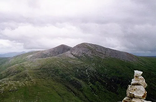 Stob Coire Easain Mountain, Highland10 km N
-
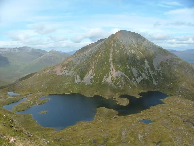 Sgurr Eilde Mor Mountain, Highland10 km W
-
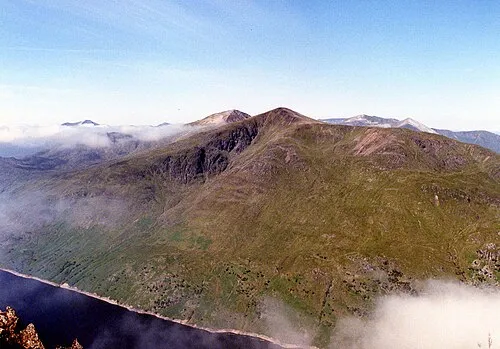 Stob a' Choire Mheadhoin Mountain, Highland11 km N
-
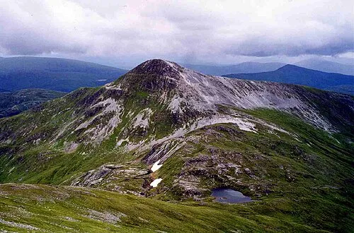 Stob Bàn Mountain, Highland11 km NW
-
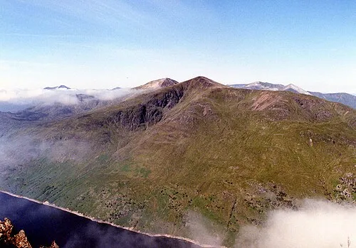 Stob Coire Sgriodain Mountain, Highland11 km N
-
Garbh Chnapan Mountain, Highland5.5 km N
Sources & licences
Data last updated: